Middle Stewiacke Airport | |||||||||||
|---|---|---|---|---|---|---|---|---|---|---|---|
| Summary | |||||||||||
| Airport type | |||||||||||
| Operator | |||||||||||
| Location | Middle Stewiacke, Nova Scotia | ||||||||||
| Time zone | AST (UTC−04:00) | ||||||||||
| • Summer (DST) | ADT (UTC−03:00) | ||||||||||
| Elevation AMSL | 67 ft / 20 m | ||||||||||
| Coordinates | 45°13′17″N 063°08′55″W / 45.22139°N 63.14861°W | ||||||||||
| Map | |||||||||||
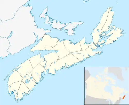 CB2 Location in Nova Scotia | |||||||||||
| Runways | |||||||||||
| |||||||||||
Source: Canada Flight Supplement[1] | |||||||||||
Middle Stewiacke Airport (TC LID: CCB2) is an abandoned airport that was located adjacent to the Stewiacke River near Middle Stewiacke, Nova Scotia, Canada.
The airport was listed as abandoned as of 13 April 2006.
References
| By name | |
|---|---|
| By location indicator | |
| By province/territory | |
| By area | |
| National Airports System | |
| Related | |
| |
This article is issued from Wikipedia. The text is licensed under Creative Commons - Attribution - Sharealike. Additional terms may apply for the media files.