Rosenort Airport | |||||||||||
|---|---|---|---|---|---|---|---|---|---|---|---|
| Summary | |||||||||||
| Airport type | Public | ||||||||||
| Operator | H. Thiesen | ||||||||||
| Location | Rural Municipality of Morris, near Rosenort, Manitoba | ||||||||||
| Time zone | CST (UTC−06:00) | ||||||||||
| • Summer (DST) | CDT (UTC−05:00) | ||||||||||
| Elevation AMSL | 779 ft / 237 m | ||||||||||
| Coordinates | 49°27′11″N 097°25′21″W / 49.45306°N 97.42250°W | ||||||||||
| Map | |||||||||||
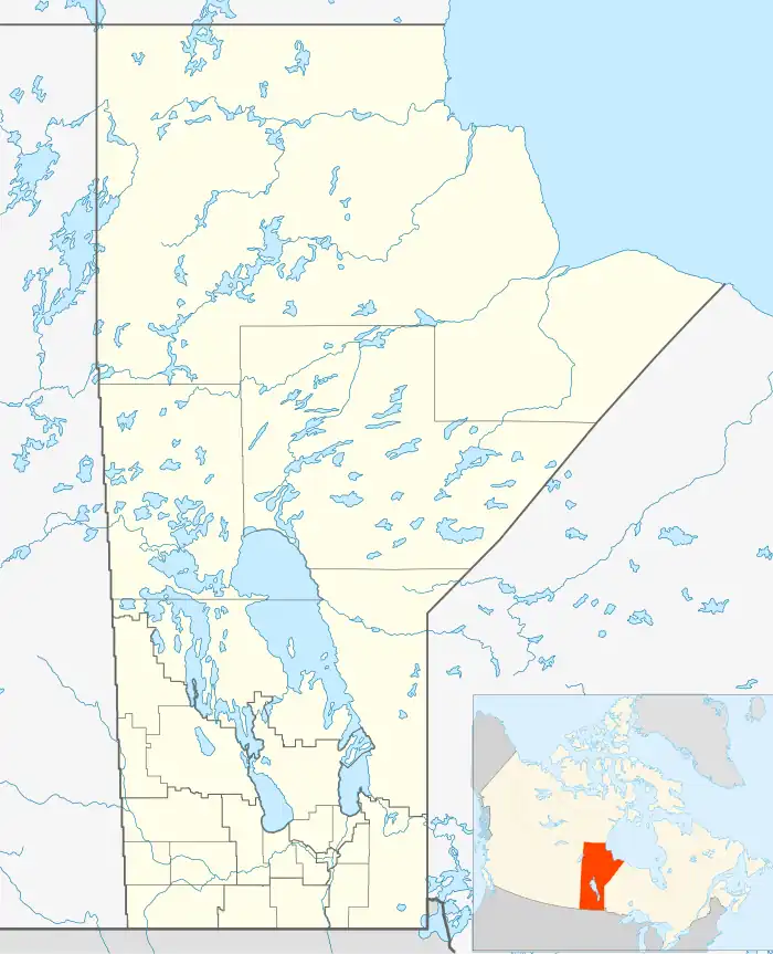 CKJ2 Location in Manitoba | |||||||||||
| Runways | |||||||||||
| |||||||||||
Source: Canada Flight Supplement[1] | |||||||||||
Rosenort Airport (TC LID: CKJ2) is located adjacent to Rosenort, Manitoba, Canada.
References
| By name | |
|---|---|
| By location indicator | |
| By province/territory | |
| By area | |
| National Airports System | |
| Related | |
| |
This article is issued from Wikipedia. The text is licensed under Creative Commons - Attribution - Sharealike. Additional terms may apply for the media files.