Saint-Quentin Aerodrome | |||||||||||
|---|---|---|---|---|---|---|---|---|---|---|---|
| Summary | |||||||||||
| Airport type | Private | ||||||||||
| Operator | B-Cyr | ||||||||||
| Location | Saint-Quentin, New Brunswick | ||||||||||
| Time zone | AST (UTC−04:00) | ||||||||||
| • Summer (DST) | ADT (UTC−03:00) | ||||||||||
| Elevation AMSL | 875 ft / 267 m | ||||||||||
| Coordinates | 47°31′16″N 067°25′18″W / 47.52111°N 67.42167°W | ||||||||||
| Map | |||||||||||
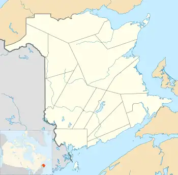 CDC4 Location in New Brunswick  CDC4 CDC4 (Canada) | |||||||||||
| Runways | |||||||||||
| |||||||||||
Source: Canada Flight Supplement[1] | |||||||||||
Saint-Quentin Aerodrome, formerly TC LID: CDC4, was located 1 nautical mile (1.9 km; 1.2 mi) northwest of Saint-Quentin, New Brunswick, Canada.
References
| By name | |
|---|---|
| By location indicator | |
| By province/territory | |
| By area | |
| National Airports System | |
| Related | |
| |
This article is issued from Wikipedia. The text is licensed under Creative Commons - Attribution - Sharealike. Additional terms may apply for the media files.