St. Lina Aerodrome | |||||||||||
|---|---|---|---|---|---|---|---|---|---|---|---|
| Summary | |||||||||||
| Airport type | |||||||||||
| Operator | |||||||||||
| Location | County of St. Paul No. 19, near St. Lina, Alberta | ||||||||||
| Time zone | MST (UTC−07:00) | ||||||||||
| • Summer (DST) | MDT (UTC−06:00) | ||||||||||
| Elevation AMSL | 2,110 ft / 643 m | ||||||||||
| Coordinates | 54°18′05″N 111°29′52″W / 54.30139°N 111.49778°W | ||||||||||
| Map | |||||||||||
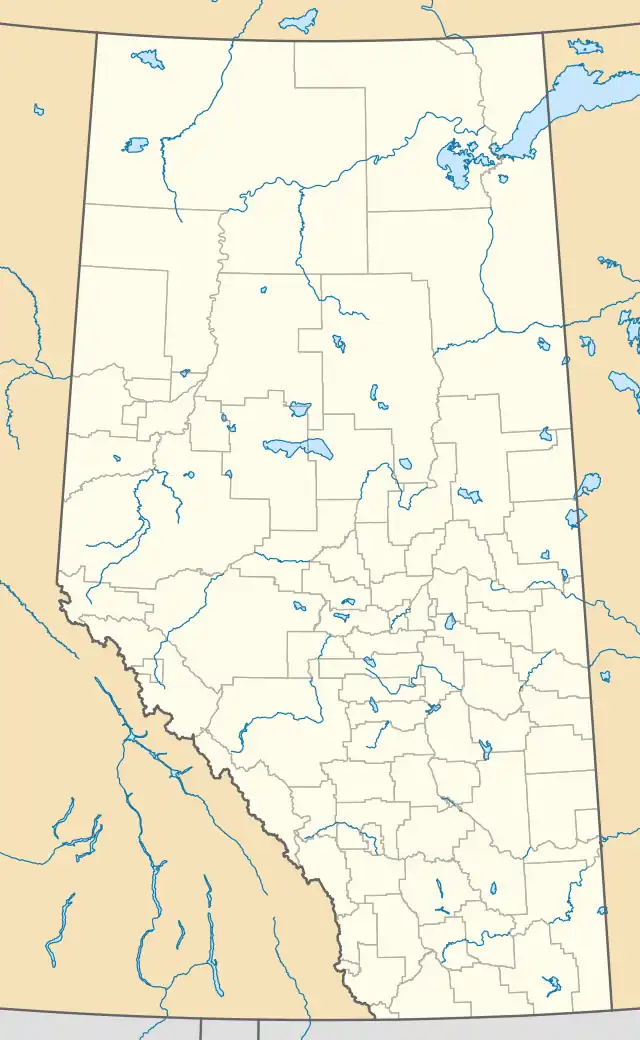 CSL4 Location in Alberta | |||||||||||
| Runways | |||||||||||
| |||||||||||
Sources: Canada Flight Supplement[1] | |||||||||||
St. Lina Aerodrome (TC LID: CSL4) was a registered aerodrome located 15 nautical miles (28 km; 17 mi) west of St. Lina, Alberta, Canada.[2]
References
- ↑ Canada Flight Supplement. Effective 0901Z 16 July 2020 to 0901Z 10 September 2020.
- ↑ CA-AB), Alberta (province; Canada (CA); Great Circle Mapper: Map, Blue Marble; Google Maps: Map, Satellite; Yandex Maps: Map, Satellite; Map, Bing Maps; Canada, CIA: The World Factbook; NAV Canada - Canada Flight Supplement, effective 21 Jul 2016-15 Sep 2016; Model (WMM2020), World Magnetic. "CSL4 - St. Lina [St. Lina Aerodrome], AB, CA - Airport - Great Circle Mapper". www.gcmap.com. Retrieved 2021-06-20.
{{cite web}}:|last4=has generic name (help)CS1 maint: numeric names: authors list (link)
| By name | |
|---|---|
| By location indicator | |
| By province/territory | |
| By area | |
| National Airports System | |
| Related | |
| |
This article is issued from Wikipedia. The text is licensed under Creative Commons - Attribution - Sharealike. Additional terms may apply for the media files.