Wawota Airport | |||||||||||
|---|---|---|---|---|---|---|---|---|---|---|---|
| Summary | |||||||||||
| Airport type | Public | ||||||||||
| Operator | Town of Wawota | ||||||||||
| Location | Wawota, Saskatchewan | ||||||||||
| Time zone | CST (UTC−06:00) | ||||||||||
| Elevation AMSL | 2,168 ft / 661 m | ||||||||||
| Coordinates | 49°54′N 102°02′W / 49.900°N 102.033°W | ||||||||||
| Map | |||||||||||
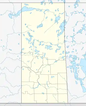 CKV7 Location in Saskatchewan  CKV7 CKV7 (Canada) | |||||||||||
| Runways | |||||||||||
| |||||||||||
Source: Canada Flight Supplement[1] | |||||||||||
Wawota Airport, formerly TC LID: CKV7, was located adjacent to Wawota, Saskatchewan, Canada.
See also
References
| By name | |
|---|---|
| By location indicator | |
| By province/territory | |
| By area | |
| National Airports System | |
| Related | |
| |
This article is issued from Wikipedia. The text is licensed under Creative Commons - Attribution - Sharealike. Additional terms may apply for the media files.