Weymontachie Airport | |||||||||||
|---|---|---|---|---|---|---|---|---|---|---|---|
| Summary | |||||||||||
| Airport type | Public | ||||||||||
| Operator | Counseil de Bande de Weymontachie | ||||||||||
| Location | Weymontachie, Quebec | ||||||||||
| Time zone | EST (UTC−05:00) | ||||||||||
| • Summer (DST) | EDT (UTC−04:00) | ||||||||||
| Elevation AMSL | 1,171 ft / 357 m | ||||||||||
| Coordinates | 47°56′13″N 073°49′02″W / 47.93694°N 73.81722°W | ||||||||||
| Map | |||||||||||
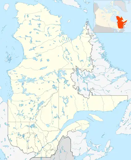 CSU5 Location in Quebec | |||||||||||
| Runways | |||||||||||
| |||||||||||
Source: Canada Flight Supplement[1] | |||||||||||
Weymontachie Airport (TC LID: CSU5) is located 3 nautical miles (5.6 km; 3.5 mi) northwest of Weymontachie, Quebec, Canada.
References
| By name | |
|---|---|
| By location indicator | |
| By province/territory | |
| By area | |
| National Airports System | |
| Related | |
| |
This article is issued from Wikipedia. The text is licensed under Creative Commons - Attribution - Sharealike. Additional terms may apply for the media files.