Bagnoles | |
|---|---|
 Coat of arms | |
Location of Bagnoles | |
 Bagnoles 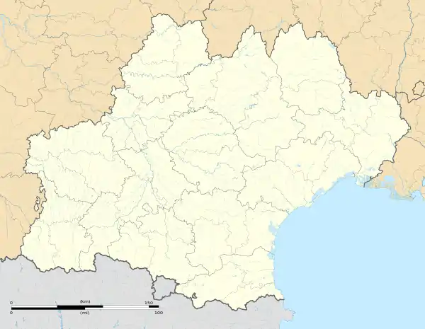 Bagnoles | |
| Coordinates: 43°16′20″N 2°26′15″E / 43.2722°N 2.4375°E | |
| Country | France |
| Region | Occitania |
| Department | Aude |
| Arrondissement | Carcassonne |
| Canton | Le Haut-Minervois |
| Intercommunality | Carcassonne Agglo |
| Government | |
| • Mayor (2020–2026) | Henri Toustou[1] |
| Area 1 | 5.63 km2 (2.17 sq mi) |
| Population | 312 |
| • Density | 55/km2 (140/sq mi) |
| Time zone | UTC+01:00 (CET) |
| • Summer (DST) | UTC+02:00 (CEST) |
| INSEE/Postal code | 11025 /11600 |
| Elevation | 110–222 m (361–728 ft) (avg. 118 m or 387 ft) |
| 1 French Land Register data, which excludes lakes, ponds, glaciers > 1 km2 (0.386 sq mi or 247 acres) and river estuaries. | |
Bagnoles (French pronunciation: [baɲɔl] ⓘ; Occitan: Banhòlas) is a commune in the Aude department in the Occitanie region of southern France.
The inhabitants of the commune are known as Bagnolois or Bagnoloises.[3]
Geography
Bagnoles is located some 10 km north-east of Carcassonne just east of Conques-sur-Orbiel. Access to the commune is by the D35 road from Conques-sur-Orbiel which passes through the village and continues north-east to Villarzel-Cabardès. The D37 comes from Malves-en-Minervois in the south and passes through the village before continuing north to join the D620 which continues to Villegly. The east of the commune is forested with the remaining two-thirds of the commune farmland.[4]
The Clamoux river flows from north to south through the commune passing through the village then forming part of the south-western border as it flows south to join the Orbiel west of Bouilhonnac. Several streams rise in the east of the commune and flow west to join the Clamoux including the Ruisseau de la Clauze and the Ruisseau de Picharelle which forms part of the southern border of the commune.[4]
Neighbouring communes and villages
Places adjacent to Bagnoles | |
|---|---|
Heraldry
Arms of Bagnoles |
The official status of the blazon remains to be determined.
Blazon:
|
Administration
| From | To | Name |
|---|---|---|
| 2001 | 2008 | Georges Escande |
| 2008 | 2020 | Serge Sarran |
| 2020 | 2026 | Henri Toustou |
Demography
In 2017 the commune had 308 inhabitants.
|
| ||||||||||||||||||||||||||||||||||||||||||||||||||||||||||||||||||||||||||||||||||||||||||||||||||||||||||||||||||
| Source: EHESS[6] and INSEE[7] | |||||||||||||||||||||||||||||||||||||||||||||||||||||||||||||||||||||||||||||||||||||||||||||||||||||||||||||||||||
Economy
Bagnoles is located in the Indication géographique protégée (Protected Geographic Zone) (IGP) for Languedoc-Roussillon wine for Coteaux-de-Peyriac.
See also
External links
- Bagnoles on the old National Geographic Institute website (in French)
- Bagnoles on Géoportail, National Geographic Institute (IGN) website (in French)
- Bagniolles on the 1750 Cassini Map
References
- ↑ "Répertoire national des élus: les maires" (in French). data.gouv.fr, Plateforme ouverte des données publiques françaises. 13 September 2022.
- ↑ "Populations légales 2021". The National Institute of Statistics and Economic Studies. 28 December 2023.
- ↑ Inhabitants of Aude (in French)
- 1 2 3 Google Maps
- ↑ List of Mayors of France (in French)
- ↑ Des villages de Cassini aux communes d'aujourd'hui: Commune data sheet Bagnoles, EHESS (in French).
- ↑ Population en historique depuis 1968, INSEE