Soulatgé | |
|---|---|
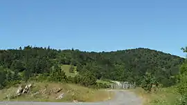 The Col de Redoulade in Soulatgé | |
.svg.png.webp) Coat of arms | |
Location of Soulatgé | |
 Soulatgé 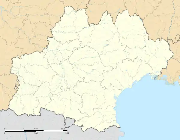 Soulatgé | |
| Coordinates: 42°52′45″N 2°30′17″E / 42.8792°N 2.5047°E | |
| Country | France |
| Region | Occitania |
| Department | Aude |
| Arrondissement | Narbonne |
| Canton | Les Corbières |
| Government | |
| • Mayor (2020–2026) | Christian Casties[1] |
| Area 1 | 24.16 km2 (9.33 sq mi) |
| Population | 128 |
| • Density | 5.3/km2 (14/sq mi) |
| Time zone | UTC+01:00 (CET) |
| • Summer (DST) | UTC+02:00 (CEST) |
| INSEE/Postal code | 11384 /11330 |
| Elevation | 357–932 m (1,171–3,058 ft) (avg. 373 m or 1,224 ft) |
| 1 French Land Register data, which excludes lakes, ponds, glaciers > 1 km2 (0.386 sq mi or 247 acres) and river estuaries. | |
Soulatgé (French pronunciation: [suladʒe] ⓘ; Occitan: Solatge) is a commune in the Aude department in southern France.
Population
| Year | Pop. | ±% p.a. |
|---|---|---|
| 1968 | 80 | — |
| 1975 | 62 | −3.58% |
| 1982 | 82 | +4.07% |
| 1990 | 90 | +1.17% |
| 1999 | 92 | +0.24% |
| 2009 | 112 | +1.99% |
| 2014 | 125 | +2.22% |
| 2020 | 128 | +0.40% |
| Source: INSEE[3] | ||
See also
References
- ↑ "Répertoire national des élus: les maires". data.gouv.fr, Plateforme ouverte des données publiques françaises (in French). 2 December 2020.
- ↑ "Populations légales 2021". The National Institute of Statistics and Economic Studies. 28 December 2023.
- ↑ Population en historique depuis 1968, INSEE
Wikimedia Commons has media related to Soulatgé.
This article is issued from Wikipedia. The text is licensed under Creative Commons - Attribution - Sharealike. Additional terms may apply for the media files.