Benneveld | |
|---|---|
 Farm in Benneveld | |
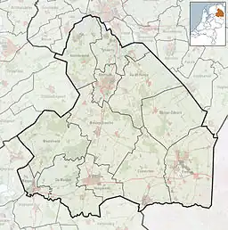 Benneveld Location in the Netherlands 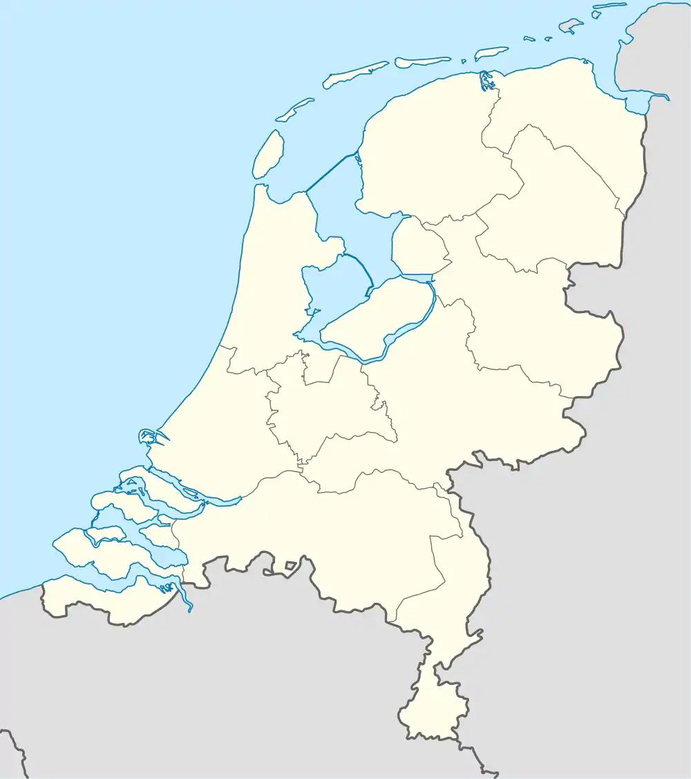 Benneveld Benneveld (Netherlands) | |
| Coordinates: 52°46′N 6°45′E / 52.767°N 6.750°E | |
| Country | |
| Province | Drenthe |
| Municipality | Coevorden |
| Area | |
| • Total | 7.02 km2 (2.71 sq mi) |
| Elevation | 16 m (52 ft) |
| Population (2021)[1] | |
| • Total | 180 |
| • Density | 26/km2 (66/sq mi) |
| Time zone | UTC+1 (CET) |
| • Summer (DST) | UTC+2 (CEST) |
| Postal code | 7856[1] |
| Dialing code | 0591 |
Benneveld is a village in the Netherlands and it is part of the Coevorden municipality in Drenthe.
Benneveld was first mentioned around 1270 as Bonavelda. The etymology is not clear.[3] It used to be a boermarke, all land was both private and communal, and the farmers were autonomous. In 1840, it was home to 158 people.[4]
References
- 1 2 3 "Kerncijfers wijken en buurten 2021". Central Bureau of Statistics. Retrieved 12 March 2022.
two entries
- ↑ "Postcodetool for 7856PC". Actueel Hoogtebestand Nederland (in Dutch). Het Waterschapshuis. Retrieved 12 March 2022.
- ↑ "Benneveld". Etymologiebank (in Dutch). Retrieved 12 March 2022.
- ↑ "Benneveld". Plaatsengids (in Dutch). Retrieved 12 March 2022.
Wikimedia Commons has media related to Benneveld.
This article is issued from Wikipedia. The text is licensed under Creative Commons - Attribution - Sharealike. Additional terms may apply for the media files.