Wachtum | |
|---|---|
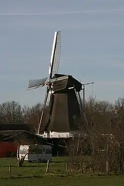 Windmill De Hoop | |
 Wachtum 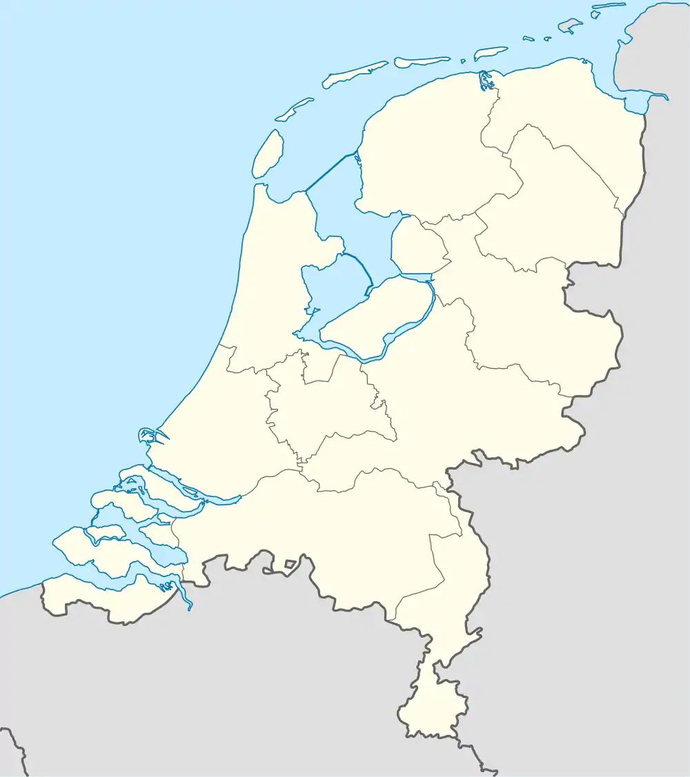 Wachtum | |
| Coordinates: 52°43′27″N 6°45′1″E / 52.72417°N 6.75028°E | |
| Country | Netherlands |
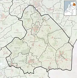
| Province | Drenthe |
| Municipality | Coevorden |
| Area | |
| • Total | 12.27 km2 (4.74 sq mi) |
| Elevation | 13 m (43 ft) |
| Population (2021)[1] | |
| • Total | 384 |
| • Density | 31/km2 (81/sq mi) |
| Time zone | UTC+1 (CET) |
| • Summer (DST) | UTC+2 (CEST) |
| Postal code | 7754[1] |
| Dialing code | 0524 |
Wachtum is a village located in the municipality of Coevorden, within the Dutch province of Drenthe.
History
The village was first mentioned between 1381 and 1383 "to Wachtman". The etymology is unknown.[3] Wachtum is an esdorp without a church which developed in the Early Middle Ages on a sandy ridge.[4]
The village is home to a windmill, which its villagers refer to as De Hoop. Originally, it was built as a drainage mill for a polder in Veendam, Groningen.[5] In 1894 it was moved to Wachtum where the villagers began utilizing it to produce animal feed.[4]
Wachtum was home to 338 people in 1840.[6]
References
- 1 2 3 "Kerncijfers wijken en buurten 2021". Central Bureau of Statistics. Retrieved 10 April 2022.
two entries
- ↑ "Postcodetool for 7754MA". Actueel Hoogtebestand Nederland (in Dutch). Het Waterschapshuis. Retrieved 10 April 2022.
- ↑ "Wachtum - (geografische naam)". Etymologiebank (in Dutch). Retrieved 10 April 2022.
- 1 2 Ronald Stenvert (2001). Wachtum (in Dutch). Zwolle: Waanders. p. 61. ISBN 90 400 9454 3. Retrieved 10 April 2022.
- ↑ "Technische gegevens" (in Dutch). De Hollandsche Molen. Archived from the original on 2 April 2015. Retrieved 21 October 2009. (Click on "Technische gegevens" to view.)
- ↑ "Wachtum". Plaatsengids (in Dutch). Retrieved 10 April 2022.
External links
 Media related to Wachtum at Wikimedia Commons
- Official website of Wachtum
This article is issued from Wikipedia. The text is licensed under Creative Commons - Attribution - Sharealike. Additional terms may apply for the media files.