Meppen | |
|---|---|
 Farm in Meppen | |
 Meppen 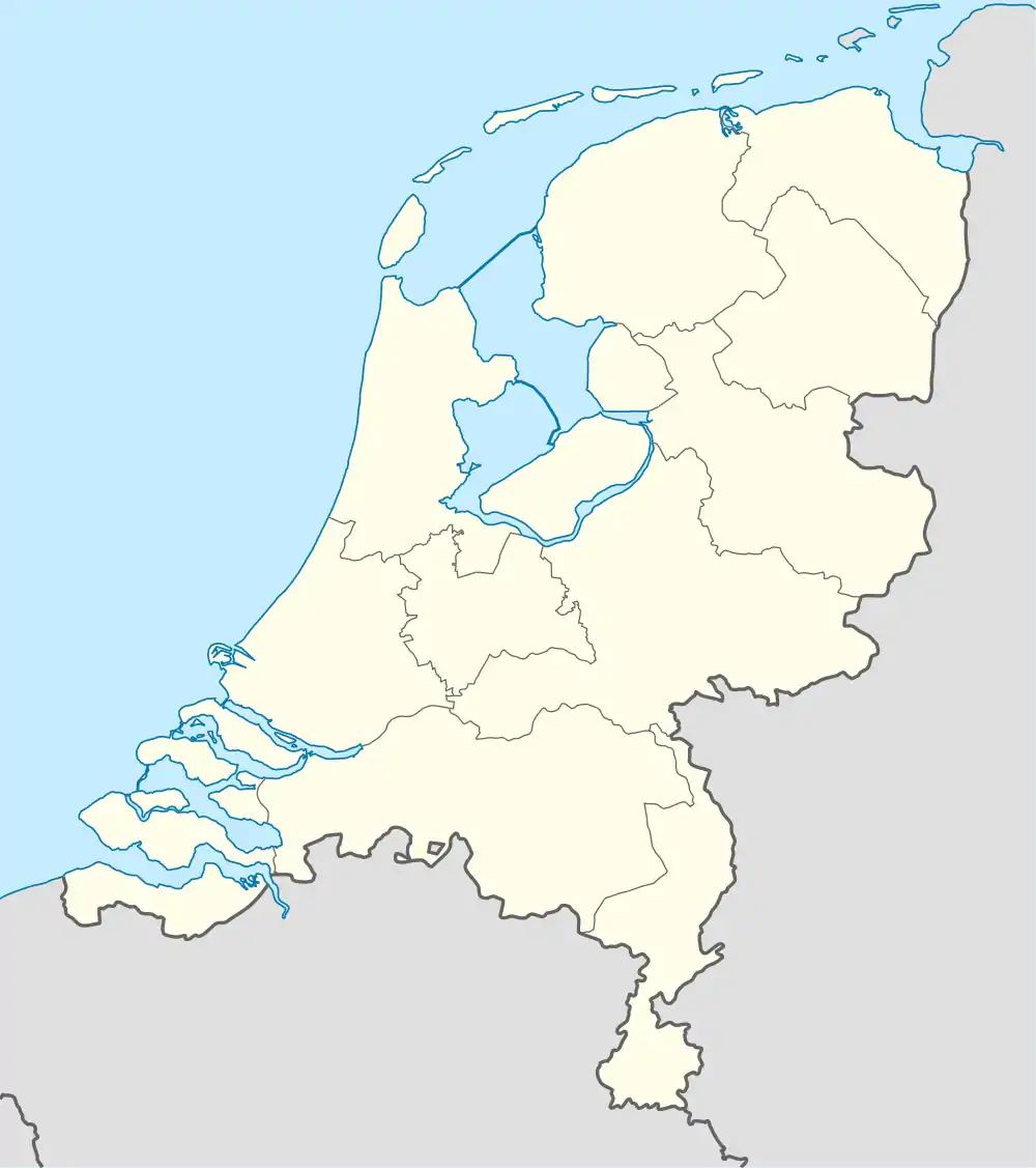 Meppen | |
| Coordinates: 52°46′53″N 6°41′44″E / 52.78139°N 6.69556°E | |
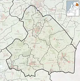
| Country | Netherlands |
| Province | Drenthe |
| Municipality | Coevorden |
| Area | |
| • Total | 16.73 km2 (6.46 sq mi) |
| Elevation | 17 m (56 ft) |
| Population (2021)[1] | |
| • Total | 385 |
| • Density | 23/km2 (60/sq mi) |
| Time zone | UTC+1 (CET) |
| • Summer (DST) | UTC+2 (CEST) |
| Postal code | 7855[1] |
| Dialing code | 0591 |
Meppen is a village in the Netherlands and is part of the Coevorden municipality in Drenthe.
Meppen was first mentioned around 1335. The etymology is unknown.[3] Traces of an esdorp dating from 5,000 BC have been discovered near the hamlet. In 1840, it was home to 238 people.[4]
References
- 1 2 3 "Kerncijfers wijken en buurten 2021". Central Bureau of Statistics. Retrieved 13 March 2022.
Two entries
- ↑ "Postcodetool for 7855TA". Actueel Hoogtebestand Nederland (in Dutch). Het Waterschapshuis. Retrieved 12 March 2022.
- ↑ "Meppen - (geografische naam)". Etymologiebank (in Dutch). Retrieved 13 March 2022.
- ↑ "Meppen". Plaatsengids (in Dutch). Retrieved 13 March 2022.
Wikimedia Commons has media related to Meppen (Drenthe).
This article is issued from Wikipedia. The text is licensed under Creative Commons - Attribution - Sharealike. Additional terms may apply for the media files.