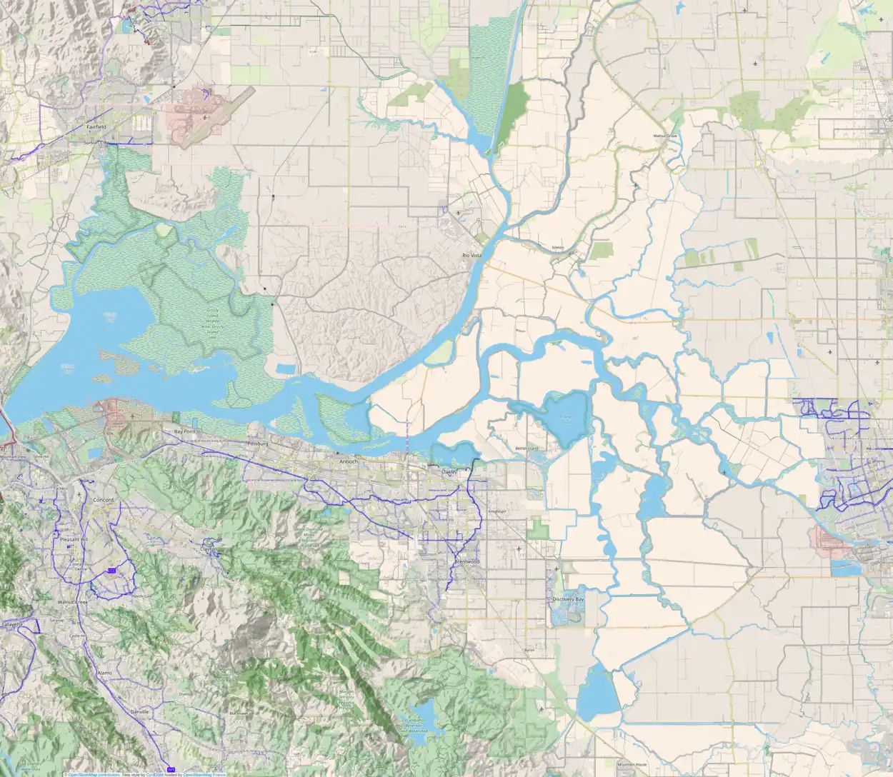
 Browns Island  Browns Island  Browns Island | |
| Geography | |
|---|---|
| Location | Northern California |
| Coordinates | 37°57′37″N 121°21′21″W / 37.96028°N 121.35583°W[1] |
| Adjacent to | Sacramento–San Joaquin River Delta |
| Highest elevation | 13 ft (4 m)[1] |
| Administration | |
United States | |
| State | |
| County | San Joaquin |
Browns Island is a former island in the Sacramento–San Joaquin River Delta, now connected to the mainland. It is part of San Joaquin County, California.[2][3][4][5][6][7][8][9][10][11] Its coordinates are 37°57′37″N 121°21′21″W / 37.96028°N 121.35583°W[1], and the United States Geological Survey measured its elevation as 13 ft (4.0 m) in 1995.[1] It appears on a 1913 USGS map of the area;[12] its former location is labeled "Browns Island" on the 2015 edition of the map.[13]
References
- 1 2 3 4 U.S. Geological Survey Geographic Names Information System: Browns Island
- ↑ "Col. Biddle Has Submitted His Report". Stockton Daily Evening Record. Stockton, California. 1909-03-12. p. 8.
- ↑ "Pittsburg". The Evening Mail. Stockton, California. 1912-06-04. p. 2.
- ↑ "Formal Opening of the Stockton Golf and Country Club Tomorrow Night". The Evening Mail. Stockton, California. 1915-09-24. p. 2.
- ↑ "Considering Making A Regulation Golf Course". Stockton Daily Evening Record. Stockton, California. 1917-03-28. p. 11.
- ↑ "A Record Of Accomplishment In Waterway Campaign". Stockton Daily Evening Record. Stockton, California. 1920-10-22. p. 8.
- ↑ "The San Joaquin River and Stockton Channel". Stockton Daily Evening Record. Stockton, California. 1922-02-14. p. 10.
- ↑ "Want Channel Widened Near Country Club". Stockton Daily Evening Record. Stockton, California. 1922-02-21. p. 3.
- ↑ "Country Club Is Extending Golf Course". Stockton Daily Evening Record. Stockton, California. 1922-09-13. p. 16.
- ↑ "Improvements Underway At Stockton Golf & Country Club Pave The Way For Standard Eighteen Hole Course". Stockton Daily Evening Record. Stockton, California. 1922-09-23. p. 22.
- ↑ "Details of Work Rushed To Bidders By Engineers". Stockton Independent. Stockton, California. 1930-02-05. p. 1.
- ↑ Marshall, R.B.; Gerdine, T.G.; Fowler, A.T.; Hannegan, Duncan; Ogle, A.J.; Lewis, J.L. (1913), Topography, State of California: Stockton Quadrangle, United States Geological Survey
- ↑ United States Geological Survey (2015). "Stockton West Quadrangle, California" (Map). United States Department of the Interior Geological Survey. 1:24000.
This article is issued from Wikipedia. The text is licensed under Creative Commons - Attribution - Sharealike. Additional terms may apply for the media files.
