 USGS aerial imagery of Sutter Island | |
 Sutter Island  Sutter Island  Sutter Island | |
| Geography | |
|---|---|
| Location | Northern California |
| Coordinates | 38°17′37″N 121°35′32″W / 38.29361°N 121.59222°W[1] |
| Adjacent to | Sacramento River |
| Administration | |
| State | |
| County | Sacramento |
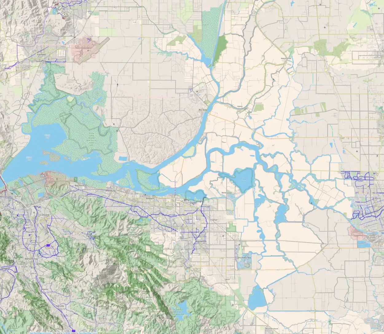
Sutter Island (formerly Schoolcraft Island)[1] is a small island of the Sacramento River in California.[2][3][4][5][6][7][8] It is bordered by the Sacramento River on the northeast, Steamboat Slough to the southease, and Sutter Slough to the west. It is located across the Sacramento River from Paintersville. It is part of Sacramento County, and managed by Reclamation District 349.[9] Its coordinates are 38°17′37″N 121°35′32″W / 38.29361°N 121.59222°W[1]. It is shown, labeled "Schoolcraft Island", on an 1850 survey map of the San Francisco Bay area made by Cadwalader Ringgold[10] and an 1854 map of the area by Henry Lange.[11]
References
- 1 2 3 U.S. Geological Survey Geographic Names Information System: Sutter Island
- ↑ "Swamp Land Commissioners". The Sacramento Bee. Sacramento, California. 1870-04-06. p. 3.
- ↑ "New School District". The Sacramento Bee. Sacramento, California. 1870-04-11. p. 3.
- ↑ "Witter Before The District Attorney". The Sacramento Bee. Sacramento, California. 1898-03-07. p. 5.
- ↑ "Spring Start Looms On Sutter Island Levee". The Sacramento Bee. Sacramento, California. 1953-09-24. p. 21.
- ↑ "Large Tract Of Farm Land On Sutter Island Is Transferred". The Sacramento Bee. Sacramento, California. 1927-11-19. p. 31.
- ↑ "Land Of Great Fertility Is Tapped By New Route". The Sacramento Bee. Sacramento, California. 1925-12-29. p. 20.
- ↑ "Sutter Island Loop". The Sacramento Bee. Sacramento, California. 1991-03-27. p. 29.
- ↑ "Sacramento County, California Reclamation Districts" (PDF). Sacramento Local Agency Formation Commission. August 2009. Retrieved 23 February 2021.
- ↑ Ringgold, Cadwalader; Stuart, Fred D.; Everett, Chas.; Harrison (1850). "General Chart embracing Surveys of the Farallones Entrance to the Bay of San Francisco, Bays of San Francisco and San Pablo, Straits of Carquines and Suisun Bay, and the Sacramento and San Joaquin Rivers, to the Cities of Sacramento and San Joaquin, California". David Rumsey Map Collection. San Francisco Common Council. Archived from the original on 7 July 2017. Retrieved 25 February 2021.
- ↑ Lange, Henry (1854). "Bai San Francisco und Vereinigung des Sacramento mit dem San Joaquin". David Rumsey Map Collection. George Westermann. Archived from the original on 10 March 2016. Retrieved 25 February 2021.
This article is issued from Wikipedia. The text is licensed under Creative Commons - Attribution - Sharealike. Additional terms may apply for the media files.
