 Ryer Island is the large, dolphin-shaped island in the center of this aerial photo. Directly above it and to the left is Freeman Island, and above Freeman Island is Snag Island. On the right, partially out of the frame of the image, is Roe Island. | |
 Snag Island  Snag Island  Snag Island  Snag Island | |
| Geography | |
|---|---|
| Location | Northern California |
| Coordinates | 38°04′22″N 121°58′23″W / 38.07278°N 121.97306°W[1] |
| Adjacent to | Suisun Bay |
| Administration | |
| State | |
| County | Solano |
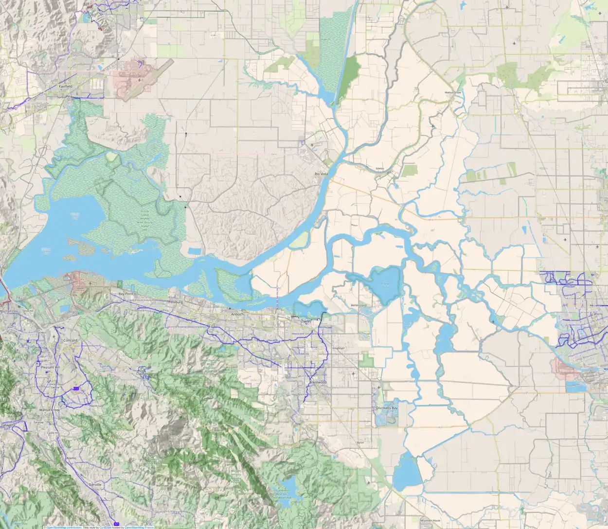
Snag Island is a small island in Suisun Bay, California.[2][3][4] It is part of Solano County.[5][6] Its coordinates are 38°04′22″N 121°58′23″W / 38.07278°N 121.97306°W[1].
References
- 1 2 U.S. Geological Survey Geographic Names Information System: Snag Island
- ↑ California State Automobile Association (1999). San Francisco Bay Region (Map). 1:190,000. American Automobile Association.
- ↑ "Guess we'll just have to blame it on the bananas". The Modesto Bee. Modesto, California. 1995-12-07. p. 11.
- ↑ "Contra Costa County". The San Francisco Examiner. San Francisco, California. 1990-06-25. p. 13.
- ↑ "Legal Notice". Concord Transcript. Concord, California. 1967-11-02. p. 9.
- ↑ "Agencies in dispute over oil spill cleanup". The San Francisco Examiner. San Francisco, California. 1988-05-02. p. 16.
This article is issued from Wikipedia. The text is licensed under Creative Commons - Attribution - Sharealike. Additional terms may apply for the media files.
