Central Federal District
Центральный федеральный округ | |
|---|---|
.svg.png.webp) | |
| Country | |
| Established | 18 May 2000 |
| Administrative Centre | Moscow |
| Government | |
| • Presidential Envoy | Igor Shchyogolev |
| Area | |
| • Total | 650,200 km2 (251,000 sq mi) |
| • Rank | 6th |
| Population | |
| • Total | 40,334,532 |
| • Rank | 1st |
| • Density | 62/km2 (160/sq mi) |
| • Urban | 82.1% |
| • Rural | 17.9% |
| GDP | |
| • Total | ₽41.685 trillion US$566 billion (2021) |
| • Per capita | ₽1,064,007 US$14,436 (2021) |
| Federal subjects | 18 contained |
| Economic regions | 2 contained |
| HDI (2021) | 0.845[4] very high · 1st |
| Website | cfo |
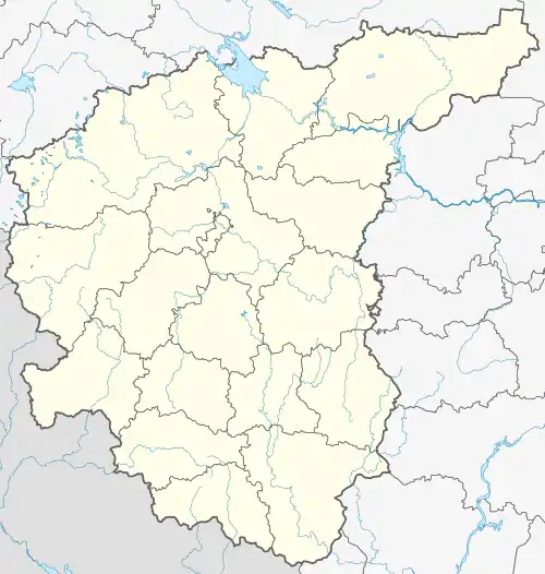
The Central Federal District (Russian: Центра́льный федера́льный о́круг, tr. Tsentralny federalny okrug, IPA: [tsɨnˈtralʲnɨj fʲɪdʲɪˈralʲnɨj ˈokrʊk]) is one of the eight federal districts of Russia. Geographically, the district is situated in the extreme west of present-day Russia; although it can be considered as the central region of European Russia. The district covers an area of 650,200 square kilometers (251,000 sq mi),[1] and recorded a population of 40,334,532 (82.1% urban) in the 2021 Census.[5] The Presidential Envoy to the Central Federal District is Igor Shchyogolev.

Demographics

Federal subjects
The district comprises the Central and Central Black Earth economic regions and eighteen federal subjects:
.svg.png.webp) | ||||||||
|---|---|---|---|---|---|---|---|---|
| # | Flag | Coat of Arms | Federal subject | Area in km2[1] | Population | GDP[6] | Administrative center | Map of Administrative Division |
| 1 |  |
Belgorod Oblast | 27,100 | 1,540,486 | ₽1,355 billion | Belgorod | ||
| 2 |  |
Bryansk Oblast | 34,900 | 1,169,161 | ₽469 billion | Bryansk | 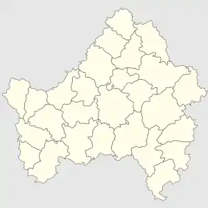 | |
| 3 |  |
Vladimir Oblast | 29,100 | 1,348,134 | ₽737 billion | Vladimir | ||
| 4 | Voronezh Oblast | 52,200 | 2,308,792 | ₽1,255 billion | Voronezh | |||
| 5 | Ivanovo Oblast | 21,400 | 927,828 | ₽300 billion | Ivanovo | |||
| 6 |  |
Kaluga Oblast | 29,800 | 1,069,904 | ₽664 billion | Kaluga | 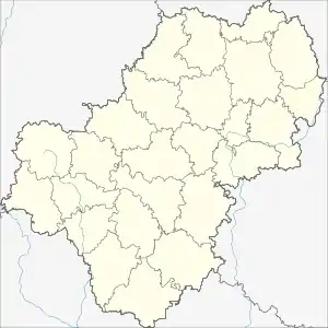 | |
| 7 | Kostroma Oblast | 60,200 | 580,976 | ₽242 billion | Kostroma | |||
| 8 |  |
Kursk Oblast | 30,000 | 1,082,458 | ₽684 billion | Kursk | ||
| 9 |  |
Lipetsk Oblast | 24,000 | 1,143,224 | ₽844 billion | Lipetsk | ||
| 10 |  |
Moscow | 2,600 | 13,010,112 | ₽24,471 billion | Moscow | 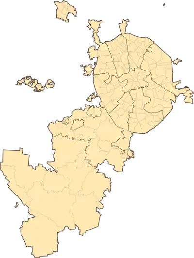 | |
| 11 | .svg.png.webp) |
Moscow Oblast | 44,300 | 8,524,665 | ₽6,832 billion | None; most public authorities located in Moscow, subject administration located in Krasnogorsk |
 | |
| 12 | .svg.png.webp) |
Oryol Oblast | 24,700 | 713,374 | ₽337 billion | Oryol | ||
| 13 | 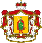 |
Ryazan Oblast | 39,600 | 1,102,810 | ₽532 billion | Ryazan | ||
| 14 | 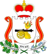 |
Smolensk Oblast | 49,800 | 888,421 | ₽422 billion | Smolensk | ||
| 15 | 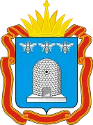 |
Tambov Oblast | 34,500 | 982,991 | ₽429 billion | Tambov |  | |
| 16 | 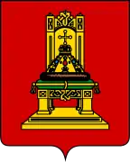 |
Tver Oblast | 84,200 | 1,230,171 | ₽555 billion | Tver | ||
| 17 |  |
Tula Oblast | 25,700 | 1,501,214 | ₽868 billion | Tula |  | |
| 18 |  |
Yaroslavl Oblast | 36,200 | 1,209,811 | ₽690 billion | Yaroslavl |  | |
According to the results of the 2021 census, the ethnic composition of the Central Federal District is as follows:[7]
| Ethnicity | Population | Percentage |
|---|---|---|
| Russians | 31,979,405 | 93.05% |
| Armenians | 227,833 | 0.66% |
| Ukrainians | 206,100 | 0.60% |
| Tatars | 164,436 | 0.48% |
| Tajiks | 120,594 | 0.35% |
| Uzbeks | 111,206 | 0.32% |
| Azerbaijanis | 100,665 | 0.29% |
| Belarusians | 55,673 | 0.16% |
| Georgians | 44,860 | 0.13% |
| Kyrgyz | 44,729 | 0.13% |
| Jews | 37,709 | 0.11% |
| Moldovans | 36,764 | 0.11% |
| Others | 1,238,440 | 3.60% |
| Ethnicity not stated | 5,966,118 | – |
Vital statistics for 2022:[8][9]
- Births: 330,013 (8.5 per 1,000)
- Deaths: 529,175 (13.6 per 1,000)
Total fertility rate (2022):[10]
1.31 children per woman
Life expectancy (2021):[11]
70.85 years
Economy
As of 2020, the GRP in Central Federal District reached RUB33.6 trillion(€407 billion)[12] and around €10,000 per capita.
References
- 1 2 3 "1.1. ОСНОВНЫЕ СОЦИАЛЬНО-ЭКОНОМИЧЕСКИЕ ПОКАЗАТЕЛИ в 2014 г." [MAIN SOCIOECONOMIC INDICATORS 2014]. Regions of Russia. Socioeconomic indicators – 2015 (in Russian). Russian Federal State Statistics Service. Retrieved 26 July 2016.
- ↑ "Provisional results of the 2020 All-Russian population census" (in Russian). Rosstat. 2022-05-30. Retrieved 2022-05-30.
- ↑ "Валовой региональный продукт по субъектам Российской Федерации в 2016-2021гг". www.rosstat.gov.ru.
- ↑ "Sub-national HDI – Area Database – Global Data Lab". hdi.globaldatalab.org. Retrieved 2021-07-20.
- ↑ Russian Federal State Statistics Service (2011). Всероссийская перепись населения 2010 года. Том 1 [2010 All-Russian Population Census, vol. 1]. Всероссийская перепись населения 2010 года [2010 All-Russia Population Census] (in Russian). Federal State Statistics Service.
- ↑ "Валовой региональный продукт". rosstat.gov.ru.
- ↑ "Национальный состав населения". Federal State Statistics Service. Retrieved 30 December 2022.
- ↑ "Information on the number of registered births, deaths, marriages and divorces for January to December 2022". ROSSTAT. Archived from the original on 2 March 2023. Retrieved 21 February 2023.
- ↑ "Birth rate, mortality rate, natural increase, marriage rate, divorce rate for January to December 2022". ROSSTAT. Archived from the original on 2 March 2023. Retrieved 21 February 2023.
- ↑ Суммарный коэффициент рождаемости [Total fertility rate]. Russian Federal State Statistics Service (in Russian). Archived from the original (XLSX) on 10 August 2023. Retrieved 10 August 2023.
- ↑ "Демографический ежегодник России" [The Demographic Yearbook of Russia] (in Russian). Federal State Statistics Service of Russia (Rosstat). Retrieved 2022-06-01.
- ↑ "Валовой региональный продукт по субъектам Российской Федерации в 2016-2020гг".
External links
- Official site: Federal Cadaster Center of Russia (in Russian)
- Baikaland at Tripod.com at the Wayback Machine (archived February 20, 2007)
| Federal districts of Russia | |
|---|---|
| Central | Southern | Northwestern | Far Eastern | Siberian | Urals | Privolzhsky (Volga) | |