Charonville | |
|---|---|
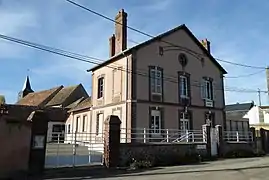 The town hall in Charonville | |
Location of Charonville | |
 Charonville 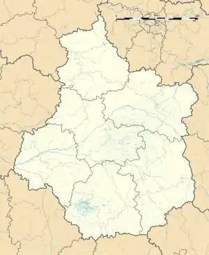 Charonville | |
| Coordinates: 48°16′52″N 1°18′17″E / 48.2811°N 1.3047°E | |
| Country | France |
| Region | Centre-Val de Loire |
| Department | Eure-et-Loir |
| Arrondissement | Chartres |
| Canton | Illiers-Combray |
| Government | |
| • Mayor (2020–2026) | Cyril Lucas[1] |
| Area 1 | 9.66 km2 (3.73 sq mi) |
| Population | 297 |
| • Density | 31/km2 (80/sq mi) |
| Time zone | UTC+01:00 (CET) |
| • Summer (DST) | UTC+02:00 (CEST) |
| INSEE/Postal code | 28081 /28120 |
| Elevation | 137–162 m (449–531 ft) (avg. 145 m or 476 ft) |
| 1 French Land Register data, which excludes lakes, ponds, glaciers > 1 km2 (0.386 sq mi or 247 acres) and river estuaries. | |
Charonville (French pronunciation: [ʃaʁɔ̃vil]) is a commune in the Eure-et-Loir department in northern France.
Population
| Year | Pop. | ±% p.a. |
|---|---|---|
| 1968 | 235 | — |
| 1975 | 231 | −0.24% |
| 1982 | 272 | +2.36% |
| 1990 | 244 | −1.35% |
| 1999 | 237 | −0.32% |
| 2009 | 273 | +1.42% |
| 2014 | 313 | +2.77% |
| 2020 | 302 | −0.59% |
| Source: INSEE[3] | ||
See also
References
- ↑ "Répertoire national des élus: les maires". data.gouv.fr, Plateforme ouverte des données publiques françaises (in French). 2 December 2020.
- ↑ "Populations légales 2021". The National Institute of Statistics and Economic Studies. 28 December 2023.
- ↑ Population en historique depuis 1968, INSEE
Wikimedia Commons has media related to Charonville.
This article is issued from Wikipedia. The text is licensed under Creative Commons - Attribution - Sharealike. Additional terms may apply for the media files.