Nogent-sur-Eure | |
|---|---|
 The town hall in Nogent-sur-Eure | |
Location of Nogent-sur-Eure | |
 Nogent-sur-Eure 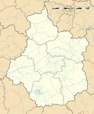 Nogent-sur-Eure | |
| Coordinates: 48°23′24″N 1°21′48″E / 48.39°N 1.3633°E | |
| Country | France |
| Region | Centre-Val de Loire |
| Department | Eure-et-Loir |
| Arrondissement | Chartres |
| Canton | Illiers-Combray |
| Intercommunality | CA Chartres Métropole |
| Government | |
| • Mayor (2020–2026) | Pascal Leclair[1] |
| Area 1 | 9.22 km2 (3.56 sq mi) |
| Population | 507 |
| • Density | 55/km2 (140/sq mi) |
| Time zone | UTC+01:00 (CET) |
| • Summer (DST) | UTC+02:00 (CEST) |
| INSEE/Postal code | 28281 /28120 |
| Elevation | 137–174 m (449–571 ft) (avg. 165 m or 541 ft) |
| 1 French Land Register data, which excludes lakes, ponds, glaciers > 1 km2 (0.386 sq mi or 247 acres) and river estuaries. | |
Nogent-sur-Eure (French pronunciation: [nɔʒɑ̃ syʁ œʁ], literally Nogent on Eure) is a commune in the Eure-et-Loir department in northern France.
Population
| Year | Pop. | ±% p.a. |
|---|---|---|
| 1968 | 231 | — |
| 1975 | 292 | +3.40% |
| 1982 | 359 | +2.99% |
| 1990 | 424 | +2.10% |
| 1999 | 441 | +0.44% |
| 2009 | 497 | +1.20% |
| 2014 | 514 | +0.67% |
| 2020 | 513 | −0.03% |
| Source: INSEE[3] | ||
See also
References
- ↑ "Répertoire national des élus: les maires" (in French). data.gouv.fr, Plateforme ouverte des données publiques françaises. 13 September 2022.
- ↑ "Populations légales 2021". The National Institute of Statistics and Economic Studies. 28 December 2023.
- ↑ Population en historique depuis 1968, INSEE
Wikimedia Commons has media related to Nogent-sur-Eure.
This article is issued from Wikipedia. The text is licensed under Creative Commons - Attribution - Sharealike. Additional terms may apply for the media files.