Engenheiro Gastão de Mesquita Filho Airport Aeroporto Engenheiro Gastão Mesquita Filho | |||||||||||
|---|---|---|---|---|---|---|---|---|---|---|---|
| Summary | |||||||||||
| Airport type | Public | ||||||||||
| Operator | Cianorte SEIL | ||||||||||
| Serves | Cianorte | ||||||||||
| Time zone | BRT (UTC−03:00) | ||||||||||
| Elevation AMSL | 539 m / 1,768 ft | ||||||||||
| Coordinates | 23°41′30″S 052°38′32″W / 23.69167°S 52.64222°W | ||||||||||
| Map | |||||||||||
 GGH Location in Brazil 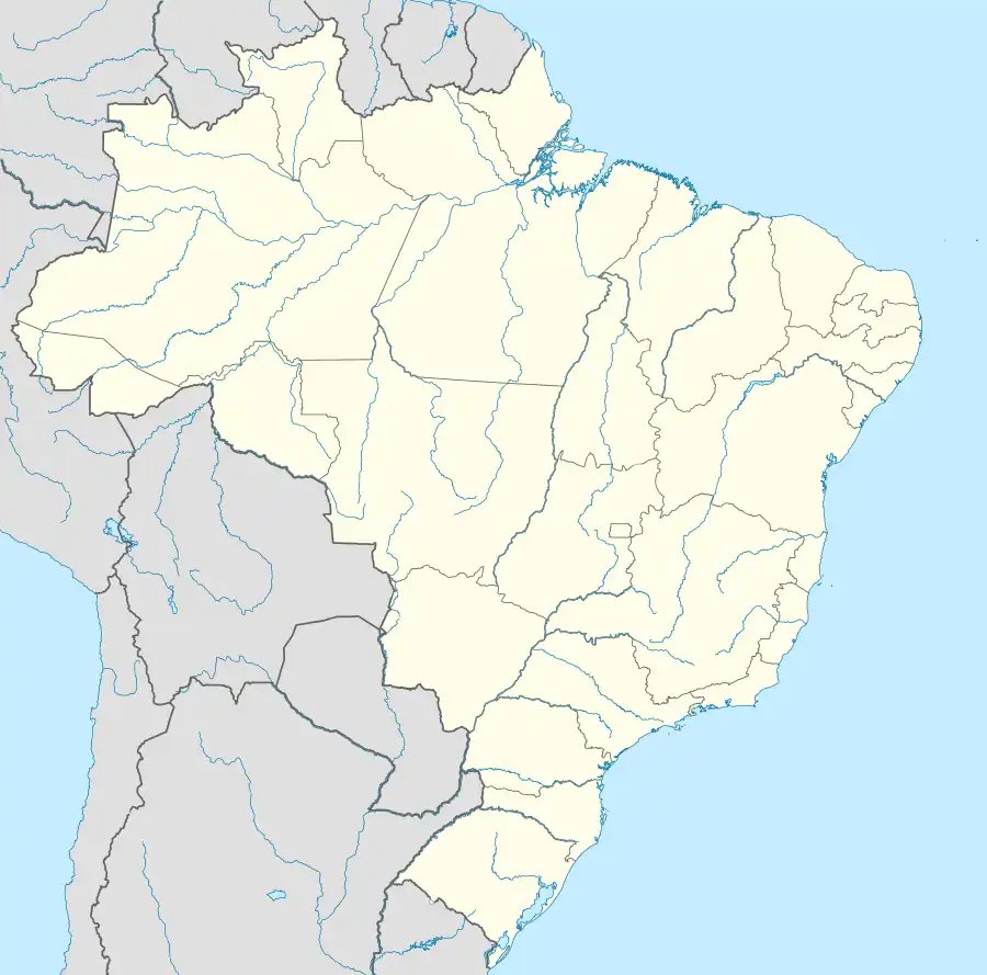 GGH GGH (Brazil) | |||||||||||
| Runways | |||||||||||
| |||||||||||
| Statistics (2011) | |||||||||||
| |||||||||||
Engenheiro Gastão Mesquita Airport (IATA: GGH, ICAO: SSCT) is the airport serving Cianorte, Brazil.
It is operated by the Municipality of Cianorte under the supervision of Aeroportos do Paraná (SEIL).
Airlines and destinations
No scheduled flights operate at this airport.
Access
The airport is located 5 km (3 mi) from downtown Cianorte.
See also
References
- ↑ "Estatística de passageiros" (PDF) (in Portuguese). SEIL. March 2012. Archived from the original (PDF) on 5 October 2013. Retrieved 18 July 2020.
- ↑ "Movimentação de aeronaves" (PDF). SEIL (in Portuguese). March 2012. Archived from the original (PDF) on 4 March 2016. Retrieved 18 July 2020.
- ↑ "Aeródromos". ANAC (in Portuguese). 22 August 2019. Retrieved 26 August 2020.
External links
- Airport information for SSCT at Great Circle Mapper. Source: DAFIF (effective October 2006).
- Current weather for SSCT at NOAA/NWS
- Accident history for SSCT at Aviation Safety Network
Airports in Paraná | |
|---|---|
This article is issued from Wikipedia. The text is licensed under Creative Commons - Attribution - Sharealike. Additional terms may apply for the media files.