La Chapelle-Enchérie | |
|---|---|
 Coat of arms | |
Location of La Chapelle-Enchérie | |
 La Chapelle-Enchérie 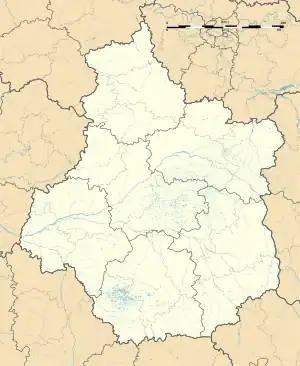 La Chapelle-Enchérie | |
| Coordinates: 47°49′31″N 1°12′18″E / 47.8253°N 1.205°E | |
| Country | France |
| Region | Centre-Val de Loire |
| Department | Loir-et-Cher |
| Arrondissement | Vendôme |
| Canton | Le Perche |
| Intercommunality | Perche et Haut Vendômois |
| Government | |
| • Mayor (2020–2026) | Alexandra Cassant[1] |
| Area 1 | 10.76 km2 (4.15 sq mi) |
| Population | 211 |
| • Density | 20/km2 (51/sq mi) |
| Time zone | UTC+01:00 (CET) |
| • Summer (DST) | UTC+02:00 (CEST) |
| INSEE/Postal code | 41037 /41290 |
| Elevation | 98–144 m (322–472 ft) (avg. 120 m or 390 ft) |
| 1 French Land Register data, which excludes lakes, ponds, glaciers > 1 km2 (0.386 sq mi or 247 acres) and river estuaries. | |
La Chapelle-Enchérie (French pronunciation: [la ʃapɛl ɑ̃ʃeʁi]) is a commune in the Loir-et-Cher department, Centre-Val de Loire, France.[3]
Population
| Year | Pop. | ±% p.a. |
|---|---|---|
| 1968 | 167 | — |
| 1975 | 139 | −2.59% |
| 1982 | 129 | −1.06% |
| 1990 | 134 | +0.48% |
| 1999 | 146 | +0.96% |
| 2007 | 154 | +0.67% |
| 2012 | 189 | +4.18% |
| 2017 | 211 | +2.23% |
| Source: INSEE[4] | ||
See also
References
- ↑ "Répertoire national des élus: les maires". data.gouv.fr, Plateforme ouverte des données publiques françaises (in French). 9 August 2021.
- ↑ "Populations légales 2021". The National Institute of Statistics and Economic Studies. 28 December 2023.
- ↑ INSEE commune file
- ↑ Population en historique depuis 1968, INSEE
Wikimedia Commons has media related to La Chapelle-Enchérie.
This article is issued from Wikipedia. The text is licensed under Creative Commons - Attribution - Sharealike. Additional terms may apply for the media files.