Méhers | |
|---|---|
Location of Méhers | |
 Méhers 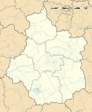 Méhers | |
| Coordinates: 47°19′43″N 1°27′28″E / 47.3286°N 1.4578°E | |
| Country | France |
| Region | Centre-Val de Loire |
| Department | Loir-et-Cher |
| Arrondissement | Romorantin-Lanthenay |
| Canton | Saint-Aignan |
| Intercommunality | Val-de-Cher-Controis |
| Government | |
| • Mayor (2020–2026) | Gilles Lions[1] |
| Area 1 | 18.27 km2 (7.05 sq mi) |
| Population | 313 |
| • Density | 17/km2 (44/sq mi) |
| Time zone | UTC+01:00 (CET) |
| • Summer (DST) | UTC+02:00 (CEST) |
| INSEE/Postal code | 41132 /41140 |
| Elevation | 78–109 m (256–358 ft) (avg. 100 m or 330 ft) |
| 1 French Land Register data, which excludes lakes, ponds, glaciers > 1 km2 (0.386 sq mi or 247 acres) and river estuaries. | |
Méhers is a commune in the Loir-et-Cher department of central France.[3]
Population
| Year | Pop. | ±% p.a. |
|---|---|---|
| 1968 | 364 | — |
| 1975 | 339 | −1.01% |
| 1982 | 303 | −1.59% |
| 1990 | 263 | −1.75% |
| 1999 | 257 | −0.26% |
| 2007 | 306 | +2.21% |
| 2012 | 348 | +2.61% |
| 2017 | 338 | −0.58% |
| Source: INSEE[4] | ||
See also
References
- ↑ "Répertoire national des élus: les maires". data.gouv.fr, Plateforme ouverte des données publiques françaises (in French). 9 August 2021.
- ↑ "Populations légales 2021". The National Institute of Statistics and Economic Studies. 28 December 2023.
- ↑ INSEE commune file
- ↑ Population en historique depuis 1968, INSEE
Wikimedia Commons has media related to Méhers.
This article is issued from Wikipedia. The text is licensed under Creative Commons - Attribution - Sharealike. Additional terms may apply for the media files.