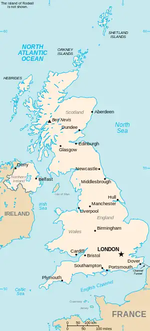
The United Kingdom
This is part of the list of United Kingdom locations: a gazetteer of place names in the United Kingdom showing each place's locality and geographical coordinates.
Co
Coa
Cob
Coc
Cod
Coe
Cof
| Location | Locality | Coordinates (links to map & photo sources) |
OS grid reference |
| Coffee Hall | Milton Keynes | 52°01′N 0°44′W / 52.01°N 00.74°W | SP8636 |
| Coffinswell | Devon | 50°30′N 3°34′W / 50.50°N 03.56°W | SX8968 |
| Cofflete | Devon | 50°20′N 4°03′W / 50.34°N 04.05°W | SX5451 |
| Cofton | Devon | 50°37′N 3°28′W / 50.61°N 03.47°W | SX9680 |
| Cofton Common | Birmingham | 52°23′N 1°59′W / 52.39°N 01.98°W | SP0177 |
| Cofton Hackett | Worcestershire | 52°22′N 2°00′W / 52.37°N 02.00°W | SP0075 |
Cog
| Location | Locality | Coordinates (links to map & photo sources) |
OS grid reference |
| Cog | The Vale of Glamorgan | 51°24′N 3°12′W / 51.40°N 03.20°W | ST1668 |
| Cogan | The Vale of Glamorgan | 51°26′N 3°11′W / 51.44°N 03.19°W | ST1772 |
| Cogenhoe | Northamptonshire | 52°14′N 0°48′W / 52.23°N 00.80°W | SP8260 |
| Cogges | Oxfordshire | 51°46′N 1°28′W / 51.77°N 01.47°W | SP3609 |
| Coggeshall | Essex | 51°52′N 0°41′E / 51.86°N 00.68°E | TL8522 |
| Coggeshall Hamlet | Essex | 51°51′N 0°41′E / 51.85°N 00.68°E | TL8521 |
| Coggins Mill | East Sussex | 51°01′N 0°16′E / 51.02°N 00.26°E | TQ5927 |
Coi
| Location | Locality | Coordinates (links to map & photo sources) |
OS grid reference |
| Coig Peighinnean | Western Isles | 58°29′N 6°15′W / 58.49°N 06.25°W | NB5264 |
| Coig Peighinnean Bhuirgh | Western Isles | 58°25′N 6°27′W / 58.41°N 06.45°W | NB4056 |
| Coilleag | Western Isles | 57°04′N 7°19′W / 57.06°N 07.31°W | NF7810 |
| Coillore | Highland | 57°20′N 6°24′W / 57.34°N 06.40°W | NG3537 |
| Coire an Fhuarain | Western Isles | 58°11′N 6°43′W / 58.19°N 06.71°W | NB2332 |
| Coisley Hill | Sheffield | 53°21′N 1°23′W / 53.35°N 01.38°W | SK4184 |
| Coity | Bridgend | 51°31′N 3°33′W / 51.51°N 03.55°W | SS9281 |
Cok
| Location | Locality | Coordinates (links to map & photo sources) |
OS grid reference |
| Cokenach | Hertfordshire | 52°00′N 0°01′E / 52.00°N 00.02°E | TL3936 |
| Cokhay Green | Derbyshire | 52°50′N 1°34′W / 52.83°N 01.57°W | SK2926 |
Col
This article is issued from Wikipedia. The text is licensed under Creative Commons - Attribution - Sharealike. Additional terms may apply for the media files.