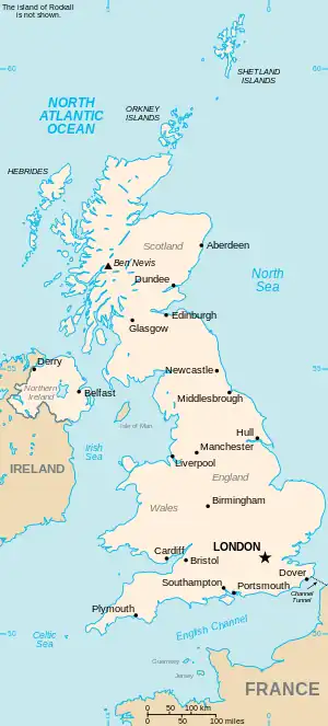
The United Kingdom
This is part of the list of United Kingdom locations: a gazetteer of place names in the United Kingdom showing each place's locality and geographical coordinates.
Up (continued)
Uppi-Upz
Ur
Us
| Location | Locality | Coordinates (links to map & photo sources) |
OS grid reference |
| Ushaw Moor | Durham | 54°46′N 1°39′W / 54.77°N 01.65°W | NZ2242 |
| Usk | Powys | 51°56′N 3°25′W / 51.94°N 03.42°W | SO022285 |
| Usk | City of Newport | 51°37′N 2°56′W / 51.61°N 02.94°W | ST347909 |
| Usk (Brynbuga) | Monmouthshire | 51°41′N 2°55′W / 51.69°N 02.91°W | SO3700 |
| Usk Reservoir | Powys | 51°56′N 3°43′W / 51.93°N 03.71°W | SN819282 |
| Usselby | Lincolnshire | 53°25′N 0°22′W / 53.42°N 00.36°W | TF0993 |
| Usworth | Sunderland | 54°55′N 1°32′W / 54.91°N 01.53°W | NZ3058 |
Ut
| Location | Locality | Coordinates (links to map & photo sources) |
OS grid reference |
| Utkinton | Cheshire | 53°10′N 2°41′W / 53.17°N 02.68°W | SJ5464 |
| Utley | Bradford | 53°52′N 1°55′W / 53.87°N 01.92°W | SE0542 |
| Uton | Devon | 50°46′N 3°40′W / 50.76°N 03.67°W | SX8298 |
| Utterby | Lincolnshire | 53°25′N 0°02′W / 53.41°N 00.04°W | TF3093 |
| Uttoxeter | Staffordshire | 52°53′N 1°52′W / 52.89°N 01.86°W | SK0933 |
Uw
| Location | Locality | Coordinates (links to map & photo sources) |
OS grid reference |
| Uwchmynydd | Gwynedd | 52°47′N 4°44′W / 52.79°N 04.74°W | SH1525 |
Ux
| Location | Locality | Coordinates (links to map & photo sources) |
OS grid reference |
| Uxbridge | Hillingdon | 51°32′N 0°29′W / 51.53°N 00.48°W | TQ0583 |
| Uxbridge Moor | Hillingdon | 51°32′N 0°29′W / 51.53°N 00.48°W | TQ0583 |
Uy
| Location | Locality | Coordinates (links to map & photo sources) |
OS grid reference |
| Uyea, Unst | Shetland Islands | 60°40′N 0°54′W / 60.67°N 00.90°W | HU599991 |
| Uyea, Northmavine | Shetland Islands | 60°37′N 1°26′W / 60.61°N 01.43°W | HU310927 |
| Uyeasound | Shetland Islands | 60°41′N 0°55′W / 60.68°N 00.92°W | HP5901 |
| Uynarey | Shetland Islands | 60°30′N 1°12′W / 60.50°N 01.20°W | HU439808 |
Uz
| Location | Locality | Coordinates (links to map & photo sources) |
OS grid reference |
| Uzmaston | Pembrokeshire | 51°47′N 4°56′W / 51.78°N 04.94°W | SM9714 |
This article is issued from Wikipedia. The text is licensed under Creative Commons - Attribution - Sharealike. Additional terms may apply for the media files.