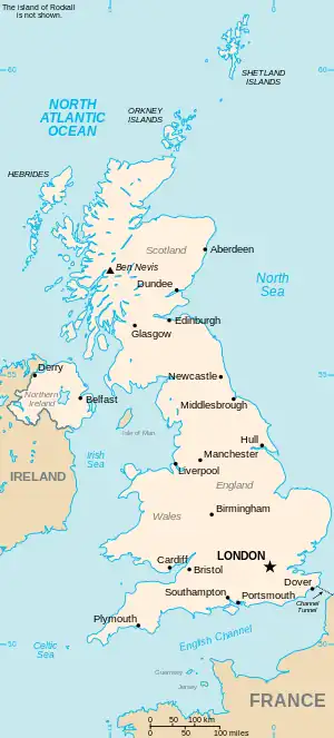
The United Kingdom
This is part of the list of United Kingdom locations: a gazetteer of place names in the United Kingdom showing each place's locality and geographical coordinates.
Gr (continued)
Gre (continued)
Green
Greep-Grew
Grey
Gri
Gro
Gru
| Location | Locality | Coordinates (links to map & photo sources) |
OS grid reference |
| Grubb Street | Kent | 51°23′N 0°16′E / 51.39°N 00.27°E | TQ5869 |
| Grub Street | Staffordshire | 52°49′N 2°19′W / 52.82°N 02.32°W | SJ7825 |
| Grudie | Highland | 57°37′N 4°50′W / 57.61°N 04.84°W | NH3062 |
| Gruids | Highland | 58°00′N 4°26′W / 58.00°N 04.43°W | NC5604 |
| Gruinard Island | Highland | 57°53′N 5°28′W / 57.88°N 05.47°W | NG944937 |
| Gruline | Argyll and Bute | 56°29′N 5°59′W / 56.48°N 05.99°W | NM5440 |
| Grumbla | Cornwall | 50°06′N 5°38′W / 50.10°N 05.63°W | SW4029 |
| Grunay | Shetland Islands | 60°25′N 0°44′W / 60.42°N 00.74°W | HU694714 |
| Grundisburgh | Suffolk | 52°06′N 1°14′E / 52.10°N 01.24°E | TM2250 |
| Grundsound | Shetland Islands | 60°05′N 1°20′W / 60.08°N 01.33°W | HU3733 |
| Gruney | Shetland Islands | 60°39′N 1°19′W / 60.65°N 01.31°W | HU378965 |
| Grunsagill | Lancashire | 53°59′N 2°20′W / 53.98°N 02.33°W | SD7854 |
| Gruting | Shetland Islands | 60°13′N 1°29′W / 60.22°N 01.49°W | HU2849 |
| Grutness | Shetland Islands | 59°52′N 1°17′W / 59.86°N 01.28°W | HU4009 |
Gry
| Location | Locality | Coordinates (links to map & photo sources) |
OS grid reference |
| Gryfe | Renfrewshire | 55°52′N 4°35′W / 55.86°N 04.59°W | NS376660 |
| Gryn Goch | Gwynedd | 53°00′N 4°23′W / 53.00°N 04.38°W | SH4048 |
Gu
Gw
Gy
| Location | Locality | Coordinates (links to map & photo sources) |
OS grid reference |
| Gyfelia | Wrexham | 52°59′N 3°01′W / 52.99°N 03.01°W | SJ3245 |
| Gyffin | Conwy | 53°16′N 3°50′W / 53.26°N 03.84°W | SH7776 |
| Gyrn | Denbighshire | 53°07′N 3°15′W / 53.11°N 03.25°W | SJ1658 |
This article is issued from Wikipedia. The text is licensed under Creative Commons - Attribution - Sharealike. Additional terms may apply for the media files.