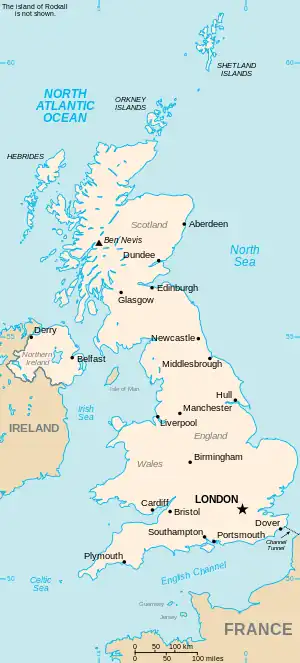
The United Kingdom
This is part of the list of United Kingdom locations: a gazetteer of place names in the United Kingdom showing each place's locality and geographical coordinates.
Low
Low A – Low El
Lower A – Lower E
Lower F – Lower M
Lower N – Lowez
Low F – Low Z
Lox – Loz
| Location | Locality | Coordinates (links to map & photo sources) |
OS grid reference |
| Loxbeare | Devon | 50°56′N 3°33′W / 50.93°N 03.55°W | SS9116 |
| Loxford | Redbridge | 51°32′N 0°04′E / 51.54°N 00.07°E | TQ4485 |
| Loxhill | Surrey | 51°08′N 0°34′W / 51.13°N 00.57°W | TQ0038 |
| Loxhore | Devon | 51°07′N 3°59′W / 51.12°N 03.98°W | SS6138 |
| Loxhore Cott | Devon | 51°07′N 3°59′W / 51.12°N 03.98°W | SS6138 |
| Loxley | Sheffield | 53°23′N 1°33′W / 53.39°N 01.55°W | SK3089 |
| Loxley | Warwickshire | 52°10′N 1°38′W / 52.16°N 01.63°W | SP2552 |
| Loxley Green | Staffordshire | 52°52′N 1°55′W / 52.86°N 01.91°W | SK0630 |
| Loxter | Herefordshire | 52°03′N 2°25′W / 52.05°N 02.42°W | SO7140 |
| Loxton | Somerset | 51°17′N 2°54′W / 51.29°N 02.90°W | ST3755 |
| Loxwood | West Sussex | 51°04′N 0°32′W / 51.06°N 00.53°W | TQ0331 |
| Loy | Highland | 56°53′N 5°02′W / 56.88°N 05.03°W | NN154813 |
| Loyter's Green | Essex | 51°46′N 0°11′E / 51.76°N 00.18°E | TL5110 |
| Loyterton | Kent | 51°18′N 0°47′E / 51.30°N 00.79°E | TQ9560 |
| Lozells | Birmingham | 52°29′N 1°55′W / 52.49°N 01.91°W | SP0689 |
This article is issued from Wikipedia. The text is licensed under Creative Commons - Attribution - Sharealike. Additional terms may apply for the media files.