Saliceto | |
|---|---|
 A view of Saliceto from the road to Gavignano | |
Location of Saliceto | |
 Saliceto 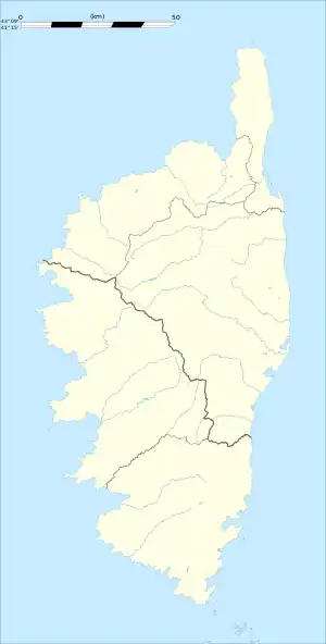 Saliceto | |
| Coordinates: 42°24′01″N 9°17′43″E / 42.4003°N 9.2953°E | |
| Country | France |
| Region | Corsica |
| Department | Haute-Corse |
| Arrondissement | Corte |
| Canton | Golo-Morosaglia |
| Government | |
| • Mayor (2020–2026) | Antoine Simonpietri[1] |
| Area 1 | 12.54 km2 (4.84 sq mi) |
| Population | 45 |
| • Density | 3.6/km2 (9.3/sq mi) |
| Time zone | UTC+01:00 (CET) |
| • Summer (DST) | UTC+02:00 (CEST) |
| INSEE/Postal code | 2B267 /20218 |
| Elevation | 220–1,729 m (722–5,673 ft) (avg. 750 m or 2,460 ft) |
| 1 French Land Register data, which excludes lakes, ponds, glaciers > 1 km2 (0.386 sq mi or 247 acres) and river estuaries. | |
Saliceto is a commune in the Castagnicca valley near the town of Corte in the Haute-Corse department of France on the island of Corsica.
The village is the birthplace of Antoine Christophe Saliceti. The village consists of about two dozen stonewall houses and a small Catholic church.
Population
| Year | Pop. | ±% |
|---|---|---|
| 1962 | 72 | — |
| 1968 | 85 | +18.1% |
| 1975 | 71 | −16.5% |
| 1982 | 69 | −2.8% |
| 1990 | 52 | −24.6% |
| 1999 | 47 | −9.6% |
| 2008 | 67 | +42.6% |
International relations
See also
References
- ↑ "Répertoire national des élus: les maires". data.gouv.fr, Plateforme ouverte des données publiques françaises (in French). 2 December 2020.
- ↑ "Populations légales 2020". The National Institute of Statistics and Economic Studies. 29 December 2022.
Wikimedia Commons has media related to Saliceto (Haute-Corse).
This article is issued from Wikipedia. The text is licensed under Creative Commons - Attribution - Sharealike. Additional terms may apply for the media files.