Antanambao Manampotsy | |
|---|---|
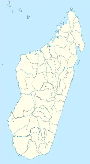 Antanambao Manampotsy Location in Madagascar | |
| Coordinates: 19°29′6″S 48°34′26″E / 19.48500°S 48.57389°E | |
| Country | |
| Region | Atsinanana |
| District | Antanambao-Manampotsy (district) |
| Time zone | UTC3 (EAT) |
| Postal code | 507 |
Antanambao Manampotsy is a village and urban commune (municipality) located in the Atsinanana region of eastern Madagascar, and is the chief town of the Antanambao Manampotsy District.
Roads
Although being linked by the unpaved National Road T 20 this district remains difficult to access. It takes 7 hours by 4x4 cars for the distance of 45 km to the National road 11a.[1]
River
Antanambao Manampotsy lies at the Manampotsy river.
References
Capital: Toamasina | ||
| Antanambao Manampotsy - 507 | 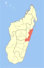 | |
| Mahanoro - 510 | ||
| Marolambo - 513 | ||
| Toamasina I - 501 | ||
| Toamasina II - 502 | ||
| Vatomandry - 517 | ||
| Vohabinany (Brickaville) - 508 | ||
7 districts; 75 communes | ||
This article is issued from Wikipedia. The text is licensed under Creative Commons - Attribution - Sharealike. Additional terms may apply for the media files.