Brou | |
|---|---|
 The town hall in Brou | |
 Coat of arms | |
Location of Brou | |
 Brou 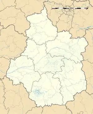 Brou | |
| Coordinates: 48°12′39″N 1°10′05″E / 48.2108°N 1.1681°E | |
| Country | France |
| Region | Centre-Val de Loire |
| Department | Eure-et-Loir |
| Arrondissement | Châteaudun |
| Canton | Brou |
| Government | |
| • Mayor (2020–2026) | Philippe Masson[1] |
| Area 1 | 19.83 km2 (7.66 sq mi) |
| Population | 3,248 |
| • Density | 160/km2 (420/sq mi) |
| Time zone | UTC+01:00 (CET) |
| • Summer (DST) | UTC+02:00 (CEST) |
| INSEE/Postal code | 28061 /28160 |
| Elevation | 147–201 m (482–659 ft) |
| 1 French Land Register data, which excludes lakes, ponds, glaciers > 1 km2 (0.386 sq mi or 247 acres) and river estuaries. | |
Brou is a commune in the Eure-et-Loir department in northern France.
Population
| Year | Pop. | ±% p.a. |
|---|---|---|
| 1968 | 3,501 | — |
| 1975 | 3,614 | +0.45% |
| 1982 | 3,825 | +0.81% |
| 1990 | 3,803 | −0.07% |
| 1999 | 3,713 | −0.27% |
| 2007 | 3,566 | −0.50% |
| 2012 | 3,489 | −0.44% |
| 2017 | 3,403 | −0.50% |
| Source: INSEE[3] | ||
See also
References
- ↑ "Répertoire national des élus: les maires". data.gouv.fr, Plateforme ouverte des données publiques françaises (in French). 2 December 2020.
- ↑ "Populations légales 2021". The National Institute of Statistics and Economic Studies. 28 December 2023.
- ↑ Population en historique depuis 1968, INSEE
External links
Wikimedia Commons has media related to Brou.
- Official site
- Félix Charpentier. Sculptor of Brou War Memorial
This article is issued from Wikipedia. The text is licensed under Creative Commons - Attribution - Sharealike. Additional terms may apply for the media files.