Pré-Saint-Évroult | |
|---|---|
 The church in Pré-Saint-Évroult | |
Location of Pré-Saint-Évroult | |
 Pré-Saint-Évroult 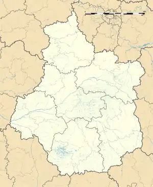 Pré-Saint-Évroult | |
| Coordinates: 48°11′07″N 1°28′07″E / 48.1853°N 1.4686°E | |
| Country | France |
| Region | Centre-Val de Loire |
| Department | Eure-et-Loir |
| Arrondissement | Châteaudun |
| Canton | Les Villages Vovéens |
| Intercommunality | Bonnevalais |
| Government | |
| • Mayor (2020–2026) | Joël Lamy[1] |
| Area 1 | 21.51 km2 (8.31 sq mi) |
| Population | 290 |
| • Density | 13/km2 (35/sq mi) |
| Time zone | UTC+01:00 (CET) |
| • Summer (DST) | UTC+02:00 (CEST) |
| INSEE/Postal code | 28305 /28800 |
| Elevation | 127–141 m (417–463 ft) (avg. 134 m or 440 ft) |
| 1 French Land Register data, which excludes lakes, ponds, glaciers > 1 km2 (0.386 sq mi or 247 acres) and river estuaries. | |
Pré-Saint-Évroult (French pronunciation: [pʁe sɛ̃.t‿evʁu]) is a commune in the Eure-et-Loir department in northern France.
Population
| Year | Pop. | ±% |
|---|---|---|
| 1962 | 296 | — |
| 1968 | 302 | +2.0% |
| 1975 | 294 | −2.6% |
| 1982 | 252 | −14.3% |
| 1990 | 291 | +15.5% |
| 1999 | 277 | −4.8% |
| 2008 | 315 | +13.7% |
See also
References
- ↑ "Répertoire national des élus: les maires" (in French). data.gouv.fr, Plateforme ouverte des données publiques françaises. 4 May 2022.
- ↑ "Populations légales 2021". The National Institute of Statistics and Economic Studies. 28 December 2023.
Wikimedia Commons has media related to Pré-Saint-Évroult.
This article is issued from Wikipedia. The text is licensed under Creative Commons - Attribution - Sharealike. Additional terms may apply for the media files.