Gas | |
|---|---|
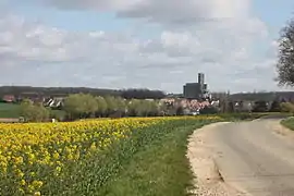 A general view of Gas | |
.svg.png.webp) Coat of arms | |
Location of Gas | |
 Gas 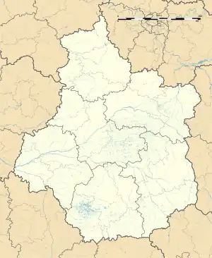 Gas | |
| Coordinates: 48°33′58″N 1°40′05″E / 48.566°N 1.668°E | |
| Country | France |
| Region | Centre-Val de Loire |
| Department | Eure-et-Loir |
| Arrondissement | Chartres |
| Canton | Épernon |
| Intercommunality | Portes Euréliennes d'Île-de-France |
| Government | |
| • Mayor (2020–2026) | Anne Bracco[1] |
| Area 1 | 11.97 km2 (4.62 sq mi) |
| Population | 752 |
| • Density | 63/km2 (160/sq mi) |
| Time zone | UTC+01:00 (CET) |
| • Summer (DST) | UTC+02:00 (CEST) |
| INSEE/Postal code | 28172 /28320 |
| Elevation | 107–161 m (351–528 ft) (avg. 1,071 m or 3,514 ft) |
| 1 French Land Register data, which excludes lakes, ponds, glaciers > 1 km2 (0.386 sq mi or 247 acres) and river estuaries. | |
Gas is a commune in the Eure-et-Loir department in northern France.
Population
| Year | Pop. | ±% |
|---|---|---|
| 1962 | 243 | — |
| 1968 | 255 | +4.9% |
| 1975 | 305 | +19.6% |
| 1982 | 587 | +92.5% |
| 1990 | 623 | +6.1% |
| 1999 | 634 | +1.8% |
| 2008 | 763 | +20.3% |
See also
References
- ↑ "Répertoire national des élus: les maires". data.gouv.fr, Plateforme ouverte des données publiques françaises (in French). 9 August 2021.
- ↑ "Populations légales 2021". The National Institute of Statistics and Economic Studies. 28 December 2023.
Wikimedia Commons has media related to Gas (Eure-et-Loir).
This article is issued from Wikipedia. The text is licensed under Creative Commons - Attribution - Sharealike. Additional terms may apply for the media files.