| Bunker Creek | |
|---|---|
  | |
| Location | |
| Country | United States |
| State | New Hampshire |
| County | Strafford |
| Town | Durham |
| Physical characteristics | |
| Source | |
| • location | Durham |
| • coordinates | 43°8′31″N 70°53′16″W / 43.14194°N 70.88778°W |
| • elevation | 10 ft (3.0 m) |
| Mouth | Oyster River |
• location | Durham |
• coordinates | 43°8′0″N 70°53′11″W / 43.13333°N 70.88639°W |
• elevation | 0 ft (0 m) |
| Length | 0.7 mi (1.1 km) |
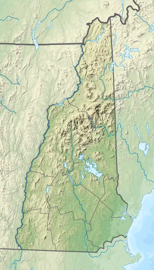
Bunker Creek is a stream in the town of Durham, Strafford County, New Hampshire, in the United States.[1] It is a tributary of the tidal Oyster River. The stream is 0.7 miles (1.1 km) long.[2]
Bunker Creek was named for James Bunker, who built a garrison on the creek in the 1650s.[3]
See also
References
- ↑ U.S. Geological Survey Geographic Names Information System: Bunker Creek (New Hampshire)
- ↑ U.S. Geological Survey. Dover West 7.5-minute topographic map (2012)
- ↑ Thompson, Mary Pickering (1892). Landmarks in Ancient Dover, New Hampshire. Concord Republican Press Association. p. 32.
This article is issued from Wikipedia. The text is licensed under Creative Commons - Attribution - Sharealike. Additional terms may apply for the media files.