| Ela River | |
|---|---|
 Wetland on the Ela River in New Durham, NH | |
  | |
| Location | |
| Country | United States |
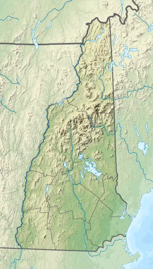
| State | New Hampshire |
| County | Strafford |
| Towns | New Durham, Farmington |
| Physical characteristics | |
| Source | Coldrain Pond |
| • location | New Durham |
| • coordinates | 43°27′3″N 71°8′34″W / 43.45083°N 71.14278°W |
| • elevation | 668 ft (204 m) |
| Mouth | Cochecho River |
• location | Farmington |
• coordinates | 43°23′20″N 71°4′12″W / 43.38889°N 71.07000°W |
• elevation | 278 ft (85 m) |
| Length | 10.6 mi (17.1 km) |
The Ela River is a 10.6-mile-long (17.1 km)[1] river in eastern New Hampshire in the United States. It is a tributary of the Cochecho River, part of the Piscataqua River watershed leading to the Atlantic Ocean.
The river begins at Coldrain Pond in New Durham, New Hampshire, 4 miles (6 km) east of Lake Winnipesaukee. Flowing south through Club Pond, the river turns southeast and descends to Farmington, where it joins the Cochecho. New Hampshire Route 11 parallels the river for most of its southeasterly course.
See also
References
This article is issued from Wikipedia. The text is licensed under Creative Commons - Attribution - Sharealike. Additional terms may apply for the media files.