| Pawtuckaway River | |
|---|---|
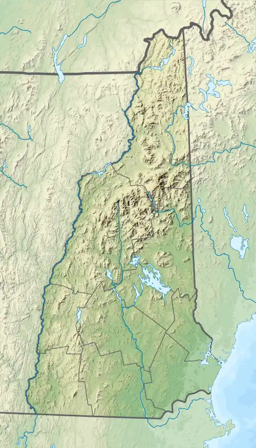
 The Pawtuckaway River near its source in Nottingham, NH | |
  | |
| Location | |
| Country | United States |
| State | New Hampshire |
| County | Rockingham |
| Towns | Nottingham, Raymond, Epping |
| Physical characteristics | |
| Source | Pawtuckaway Lake |
| • location | Nottingham |
| • coordinates | 43°4′20″N 71°9′4″W / 43.07222°N 71.15111°W |
| • elevation | 250 ft (76 m) |
| Mouth | Lamprey River |
• location | West Epping |
• coordinates | 43°2′28″N 71°7′36″W / 43.04111°N 71.12667°W |
• elevation | 128 ft (39 m) |
| Length | 3.6 mi (5.8 km) |
The Pawtuckaway River is a 3.6-mile-long (5.8 km)[1] river in southeastern New Hampshire in the United States. It is a tributary of the Lamprey River, part of the Great Bay and Piscataqua River watershed leading to the Atlantic Ocean.
The river forms the south outlet of Pawtuckaway Lake, a 900-acre (360 ha) lake in the town of Nottingham, New Hampshire. The river travels southeast through a wooded valley, passing under New Hampshire Route 156, entering the town of Raymond briefly, then crossing into Epping, where it joins the Lamprey River near the village of West Epping.
See also
References
This article is issued from Wikipedia. The text is licensed under Creative Commons - Attribution - Sharealike. Additional terms may apply for the media files.