| Partridge Brook | |
|---|---|
  | |
| Location | |
| Country | United States |
| State | New Hampshire |
| County | Cheshire |
| Towns | Chesterfield, Westmoreland |
| Physical characteristics | |
| Source | Spofford Lake |
| • location | Spofford |
| • coordinates | 42°54′32″N 72°25′30″W / 42.90889°N 72.42500°W / 42.90889; -72.42500 |
| • elevation | 715 ft (218 m) |
| Mouth | Connecticut River |
• location | Westmoreland |
• coordinates | 42°58′34″N 72°27′57″W / 42.97611°N 72.46583°W / 42.97611; -72.46583 |
• elevation | 226 ft (69 m) |
| Length | 7.5 mi (12.1 km) |
| Basin features | |
| Tributaries | |
| • right | Glebe Brook |
Partridge Brook is a 7.5-mile-long (12.1 km)[1] stream located in southwestern New Hampshire in the United States. It is a tributary of the Connecticut River, which flows to Long Island Sound.
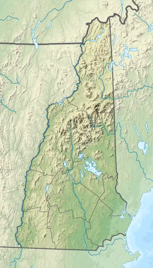
Partridge Brook begins at the outlet of Spofford Lake at Spofford village in the town of Chesterfield, New Hampshire. The brook flows east, then north, then northwest, into the town of Westmoreland, before reaching the Connecticut River.
In Westmoreland, the brook is subject to New Hampshire's Comprehensive Shoreland Protection Act.
See also
References
| Gulf of Maine |
| ||||||||||
|---|---|---|---|---|---|---|---|---|---|---|---|
| Long Island Sound |
| ||||||||||
This article is issued from Wikipedia. The text is licensed under Creative Commons - Attribution - Sharealike. Additional terms may apply for the media files.