| East Branch Baker River | |
|---|---|
  | |
| Location | |
| Country | United States |
| State | New Hampshire |
| County | Grafton |
| Towns | Woodstock, Warren |
| Physical characteristics | |
| Source | Mount Moosilauke (Blue Ridge) |
| • location | Woodstock |
| • coordinates | 43°59′12″N 71°48′12″W / 43.98667°N 71.80333°W / 43.98667; -71.80333 |
| • elevation | 2,800 ft (850 m) |
| Mouth | Baker River |
• location | Warren |
• coordinates | 43°57′23″N 71°49′59″W / 43.95639°N 71.83306°W / 43.95639; -71.83306 |
• elevation | 1,300 ft (400 m) |
| Length | 3.1 mi (5.0 km) |
| Basin features | |
| Tributaries | |
| • left | Blodgett Brook |
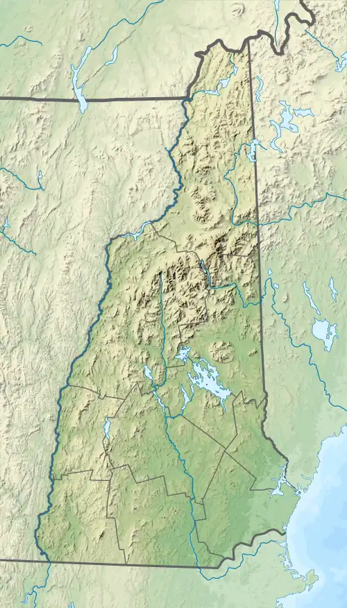
The East Branch of the Baker River is a 3.1-mile-long (5.0 km)[1] river in western New Hampshire in the United States. It is a tributary of the Baker River, part of the Pemigewasset River and Merrimack River watersheds.
The river rises on the southernmost slopes of Mount Moosilauke in the town of Woodstock. Flowing south, it quickly enters the town of Warren and crosses twice under Route 118 before joining the main stem of the Baker.
See also
References
| Gulf of Maine |
| ||||||||||
|---|---|---|---|---|---|---|---|---|---|---|---|
| Long Island Sound |
| ||||||||||
This article is issued from Wikipedia. The text is licensed under Creative Commons - Attribution - Sharealike. Additional terms may apply for the media files.