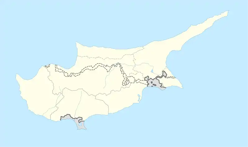
 Map showing the ancient city Kingdoms of Cyprus | |
 Shown within Cyprus | |
| Location | Cyprus |
|---|---|
| Coordinates | 35°21′19″N 33°11′52″E / 35.355404°N 33.197851°E |
Lapathus (Phoenician: 𐤋𐤐𐤈, LPṬ;[1] Greek: Λάπαθος, Lápathos),[2] also recorded as Lapethus (Λάπηθος, Lápēthos),[3][4] Lepethis (Ληπηθίς, Lēpēthís),[5] and Lapithus (Λάπιθος, Lápithos),[6] was an ancient Cypriot town near present-day Lampousa and Karavas.[7][8]
History
The foundation of Lapathus was credited to the Phoenicians.[9] Nonnus claimed the name derived from an eponymous Lapathus, a follower of Dionysus.[10] Strabo said that it received a Spartan colony headed by Praxander.[2] He adds that it was situated opposite to the town of Nagidus in Cilicia and possessed a harbour and docks.[2] It was situated in the north of the island, on a river of the same name and in a district called Lapethia (Λαπηθία, Lapēthía).[11]
In the war between Ptolemy and Antigonus, Lapathus and its king Praxippus sided with the latter.[12] The name of the place became synonymous with stupidity.[13]
References
Citations
- ↑ Huss (1985), p. 569.
- 1 2 3 Strabo. Geographica. Vol. xiv. p.682. Page numbers refer to those of Isaac Casaubon's edition.
- ↑ Ptolemy. The Geography. Vol. 5.14.4.
- ↑ Pliny. Naturalis Historia. Vol. 5.31.
- ↑ Periplus of Pseudo-Scylax, p. 41.
- ↑ Hierocles. Synecdemus.
- ↑ Richard Talbert, ed. (2000). Barrington Atlas of the Greek and Roman World. Princeton University Press. p. 72, and directory notes accompanying.
- ↑ Lund University. Digital Atlas of the Roman Empire.
- ↑ Stephanus of Byzantium. Ethnica. Vol. s.v.
- ↑ Nonnus, Dionys. 13.447.
- ↑ Ptolemy. The Geography. Vol. 5.14.5.
- ↑ Diodorus Siculus. Bibliotheca historica (Historical Library). Vol. 19.59.
- ↑ Suda s.v. Λαπάθιοι.
Bibliography
- Huss, Werner (1985), Geschichte der Karthager, Munich: C.H. Beck, ISBN 9783406306549. (in German)
 This article incorporates text from a publication now in the public domain: Smith, William, ed. (1854–1857). "Lapathus". Dictionary of Greek and Roman Geography. London: John Murray.