Mamre | |
|---|---|
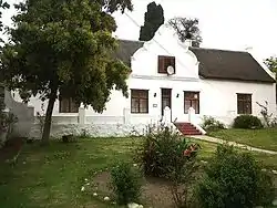
 De Kleine Post in Mamre | |
 Mamre  Mamre | |
| Coordinates: 33°31′01″S 18°28′01″E / 33.517°S 18.467°E / -33.517; 18.467 | |
| Country | South Africa |
| Province | Western Cape |
| Municipality | City of Cape Town |
| Area | |
| • Total | 1.87 km2 (0.72 sq mi) |
| Population (2011)[1] | |
| • Total | 9,048 |
| • Density | 4,800/km2 (13,000/sq mi) |
| Racial makeup (2011) | |
| • Black African | 3.0% |
| • Coloured | 94.6% |
| • Indian/Asian | 0.3% |
| • White | 0.3% |
| • Other | 1.8% |
| First languages (2011) | |
| • Afrikaans | 92.3% |
| • English | 6.0% |
| • Other | 1.6% |
| Time zone | UTC+2 (SAST) |
| Postal code (street) | 7349 |
| PO box | 7347 |
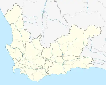
Mamre is a small rural town in the Western Cape province of South Africa. It is situated on the northernmost border of the City of Cape Town Metropolitan Municipality. It is situated approximately 55 kilometres (30 mi) north of central Cape Town, and 5–6 km to the neighbouring industrial town of Atlantis.
History
Mamre was established as a village and mission station in 1808 by Moravian missionaries. It was at first known as Groene Kloof (Green Gorge) after the Dutch East India Company post wasvestablished there in 1701 and abandoned in 1791. It was subsequently renamed after the biblical Mamre (Gen. 13:18), a name said to mean "fattiness".[2]
In December 1962, Looksmart Ngudle and Denis Goldberg helped to organise an Umkhonto we Sizwe training camp at Mamre, later recognised as the first MK training centre inside South Africa; however, it had to be abandoned early due to Security Police interest.[3]
References
- 1 2 3 4 "Main Place Mamre". Census 2011.
- ↑ "Dictionary of Southern African Place Names (Public Domain)". Human Science Research Council. p. 295.
- ↑ Goldberg, Denis (2016). A Life for Freedom. University Press of Kentucky. pp. 71–26. ISBN 9780813166858.