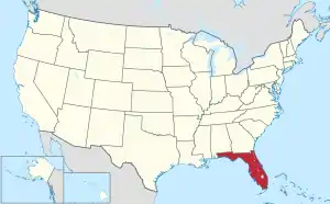
Map of the United States with Florida highlighted
The United States Census Bureau defines certain unincorporated communities (lacking elected municipal officers and boundaries with legal status)[1] as census-designated places (CDPs) for enumeration in each decennial census. The Census Bureau defined 485 Florida CDPs for the 2000 census[2] and 509 CDPs for the 2010 census.[3] As of the 2020 census, there were 41 new CDPs added and 3 CDPs removed/merged into others for a total of 547.[4]
Note: The table of contents only applies when the list is sorted by CDP name.
- Left mouse click on the up/down arrows to sort the list by that column.
- Sort by county only applies to the first county listed, if more than one.
See also
References
- ↑ "Geographic Terms and Concepts– Place". United States Census Bureau. United States Department of Commerce. Retrieved February 24, 2014.
- ↑ "Population and Housing Unit Counts, Florida: 2000" (PDF). US Census Bureau. October 2003. p. 14. Retrieved February 17, 2022.
- ↑ "Population and Housing Unit Counts, Florida: 2010" (PDF). US Census Bureau. September 2012. p. 19. Retrieved February 17, 2022.
- ↑ "State of Florida Census Designated Places - Current/BAS23". Tigerweb.geo.census.gov. US Census Bureau. Retrieved March 13, 2023.
This article is issued from Wikipedia. The text is licensed under Creative Commons - Attribution - Sharealike. Additional terms may apply for the media files.